UN/LOCODE hub · Tanzania
TZTGT
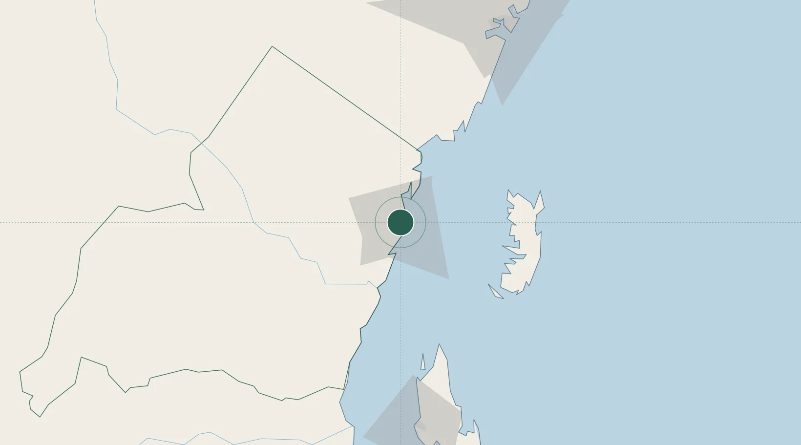
Tanga
-5.0661°, 39.1056°
393,429
Population
2
Transport functions
1
Container terminals
Transport Functions
Port
Airport
Hub Profile
Place type
Regional capital
Region
Tanga
Population
393,429
Time zone
Africa/Dar_es_Salaam
Elevation
22 m
Logistics facilities
1
Container terminals
1
Location
Nearby Logistics Neighbours
Cities
- 1Shimoni56 km
- 2Zanzibar122 km
- 3Mombasa129 km
- 4Kibaha190 km
- 5African Inland Container Depot197 km
Ports
- 1Zanzibar123 km
- 2Mombasa127 km
- 3Kilifi180 km
- 4Dar Es Salaam196 km
- 5Malindi235 km
Airports
- 1Tanga Airport5 km
- 2Pemba Airport81 km
- 3Moi International Airport127 km
- 4Abeid Amani Karume International Airport129 km
- 5Julius Nyerere International Airport201 km
Trade Zones
DatabookThe Record of Consolidated Knowledge
Tanzania beyond logistics?