Medium airport · Kenya

Malindi International AirportHKML
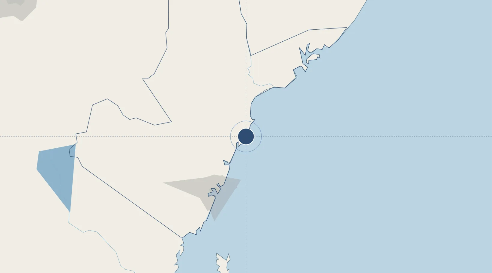
-3.2293°, 40.1017°
4,600 ft
Longest runway
2
Runways
80 ft
Elevation

Runway & Layout

Malindi International Airport runway & taxiway layout
Runway & taxiway layout — OpenStreetMap (ODbL) / OurAirports

Navaids

ML NDB Malindi 309 kHz
MLD VOR-DME Malindi 113.30 MHz
OurAirports

Runways · 2

RunwayDimensions SurfaceTrue headingLit
17/35 4,600 × —ft Unknown
08/26 3,701 × —ft Unknown
OurAirports

Airport Specifications

IATA code
MYD
OurAirports
ICAO code
HKML
OurAirports
Airport class
Medium airport
OurAirports
Scheduled service
Yes
OurAirports
Runway surface
Unknown
OurAirports
Served city
Malindi
OurAirports

Location

Location of HKML
Natural Earth 10m (public domain) · Coast · HKML · -3.23, 40.10GoogleOSMYandex

Nearby Logistics Neighbours

Airports
  1. 1Moi International Airport106 km
  2. 2Manda Airport141 km
  3. 3Kiwayu Airport194 km
  4. 4Pemba Airport228 km
  5. 5Tanga Airport237 km
Nearest neighbours — logibook spatial index (haversine) over the source coordinates
Cities
  1. 1Mombasa104 km
  2. 2Shimoni177 km
  3. 3Tanga232 km
  4. 4Moshi308 km
  5. 5Zanzibar341 km
Nearest neighbours — logibook spatial index (haversine) over the source coordinates
Ports
  1. 1Malindi4 km
  2. 2Kilifi52 km
  3. 3Mombasa105 km
  4. 4Lamu139 km
  5. 5Tanga233 km
Nearest neighbours — logibook spatial index (haversine) over the source coordinates
Trade Zones
  1. 1Mombasa Special Economic Zone87 km
  2. 2Kipevu Public Export Processing Zone103 km
  3. 3Dongo Kundu Special Economic Zone104 km
  4. 4Dundani Industrial Park136 km
  5. 5Lamu Port Special Economic Zone146 km
Nearest neighbours — logibook spatial index (haversine) over the source coordinates
DatabookThe Record of Consolidated Knowledge
Kenya beyond logistics?
Browse databook

All Sources

AirportsOurAirports
Public domain
Portsthe NGA World Port Index
Public domain (US gov)
LocationsUN/LOCODE
UN/LOCODE — free
Trade Zonesthe World Bank SEZ database
CC BY 4.0
Trade ZonesOpen Zone Map
CC BY
InfrastructureOpenStreetMap
ODbL 1.0
← Kenya airports