Export Processing Zone · Tanzania

Mkinga Special Economic Zone Active
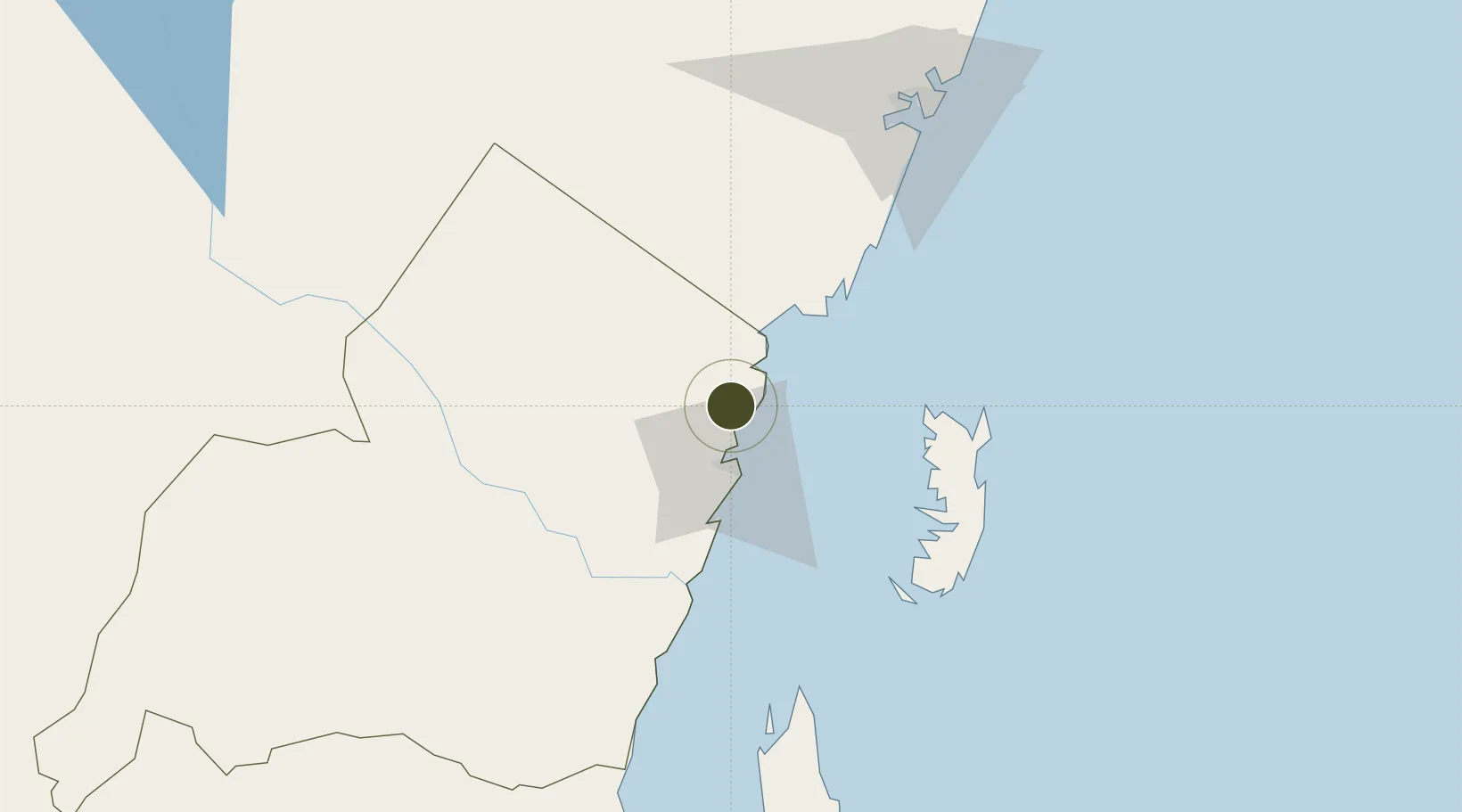
-4.8932°, 39.1119°
40 ha
Zone area
21.2 km
Nearest port
22.6 km
Nearest airport

Gateway access

Nearest neighbours — logibook spatial index (haversine) over the source coordinates

Zone profile

Zone type
Export Processing Zone
Open Zone Map
Region
Tanga
Open Zone Map
Status
Active
Open Zone Map
Management
Public
Open Zone Map
Operator
Rift Consult ltd
Open Zone Map
Legal framework
Special Economic Zones Act of 2006
Open Zone Map

Location

Location of ozm-4407
Natural Earth 10m (public domain) · Tanga · ozm-4407 · -4.89, 39.11GoogleOSMYandex

Nearby Logistics Neighbours

Ports
  1. 1Tanga21 km
  2. 2Mombasa111 km
  3. 3Zanzibar142 km
  4. 4Kilifi163 km
  5. 5Dar Es Salaam215 km
Nearest neighbours — logibook spatial index (haversine) over the source coordinates
Airports
  1. 1Tanga Airport23 km
  2. 2Pemba Airport87 km
  3. 3Moi International Airport109 km
  4. 4Abeid Amani Karume International Airport148 km
  5. 5Malindi International Airport215 km
Nearest neighbours — logibook spatial index (haversine) over the source coordinates
Cities
  1. 1Tanga19 km
  2. 2Shimoni40 km
  3. 3Mombasa112 km
  4. 4Zanzibar141 km
  5. 5Kibaha209 km
Nearest neighbours — logibook spatial index (haversine) over the source coordinates
Trade Zones
  1. 1Neema Tanga Special Economic Zone22 km
  2. 2Neema Export Processing Zone23 km
  3. 3Kange Industrial Park25 km
  4. 4Pongwe-Tanga Economic Corridor26 km
  5. 5Pongwe Industrial Park29 km
Nearest neighbours — logibook spatial index (haversine) over the source coordinates
DatabookThe Record of Consolidated Knowledge
Tanzania beyond logistics?
Browse databook

All Sources

Trade ZonesOpen Zone Map
CC BY
Portsthe NGA World Port Index
Public domain (US gov)
AirportsOurAirports
Public domain
LocationsUN/LOCODE
UN/LOCODE — free
← Tanzania trade zones