Transport Functions
Port
Road
Hub Profile
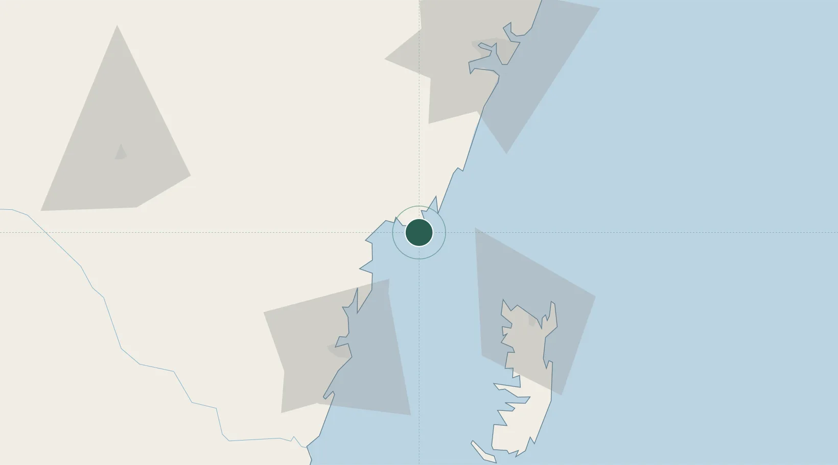
Place type
Populated place
Region
Kwale County
Population
2,374
Time zone
Africa/Nairobi
Elevation
8 m
Location
Nearby Logistics Neighbours
Cities
- 1Tanga56 km
- 2Mombasa74 km
- 3Zanzibar169 km
- 4Kibaha241 km
- 5Dar es Salaam243 km
Airports
- 1Tanga Airport60 km
- 2Moi International Airport72 km
- 3Pemba Airport83 km
- 4Abeid Amani Karume International Airport176 km
- 5Malindi International Airport177 km
Trade Zones
DatabookThe Record of Consolidated Knowledge
Kenya beyond logistics?