Specialized Zone · Iran

Noshahr Special Economic Zone Active
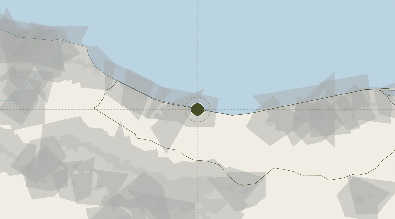
36.6520°, 51.5089°
16 ha
Zone area
720.7 km
Nearest port
4.3 km
Nearest airport

Gateway access

Nearest neighbours — logibook spatial index (haversine) over the source coordinates

Zone profile

Zone type
Specialized Zone
Open Zone Map
Specialization
Manufacturing
Open Zone Map
Region
Mazandaran
Open Zone Map
Status
Active
Open Zone Map
Management
Public
Open Zone Map
Operator
Ports and Maritime Organization
Open Zone Map
Legal framework
Law of Establishment and Administration of Special Economic Zones of Islamic Republic of Iran
Open Zone Map

Location

Location of ozm-2523
Natural Earth 10m (public domain) · Mazandaran · ozm-2523 · 36.65, 51.51GoogleOSMYandex

Nearby Logistics Neighbours

Ports
  1. 1Bandar-E Mahshahr721 km
  2. 2Bandar Khomeyni727 km
  3. 3Khorramshahr757 km
  4. 4Al Basrah762 km
  5. 5Abadan764 km
Nearest neighbours — logibook spatial index (haversine) over the source coordinates
Airports
  1. 1Nowshahr Airport4 km
  2. 2Ramsar Airport79 km
  3. 3Mehrabad International Airport109 km
  4. 4Payam International Airport115 km
  5. 5Qazvin Airport139 km
Nearest neighbours — logibook spatial index (haversine) over the source coordinates
Cities
  1. 1Freidoon Kenar93 km
  2. 2Amir Abad Pt100 km
  3. 3Ali Shah Avaz119 km
  4. 4Neka158 km
  5. 5Bandar Amirabad165 km
Nearest neighbours — logibook spatial index (haversine) over the source coordinates
Trade Zones
  1. 1Bandar Nowshahr Special Economic Zone1 km
  2. 2Yazd Special Economic Zone99 km
  3. 3New Arg Special Economic Zone103 km
  4. 4Mehran Special Economic Zone104 km
  5. 5Payam Special Economic Zone116 km
Nearest neighbours — logibook spatial index (haversine) over the source coordinates
DatabookThe Record of Consolidated Knowledge
Iran beyond logistics?
Browse databook

All Sources

Trade ZonesOpen Zone Map
CC BY
Portsthe NGA World Port Index
Public domain (US gov)
AirportsOurAirports
Public domain
LocationsUN/LOCODE
UN/LOCODE — free
← Iran trade zones