UN/LOCODE hub · Iran
IRAMP

Amir Abad Pt

36.0833°, 52.3667°
1
Transport functions

Transport Functions

Port
UN/LOCODE

Hub Profile

Region
21
GeoNames

Location

Location of IRAMP
Natural Earth 10m (public domain) · 21 · IRAMP · 36.08, 52.37GoogleOSMYandex

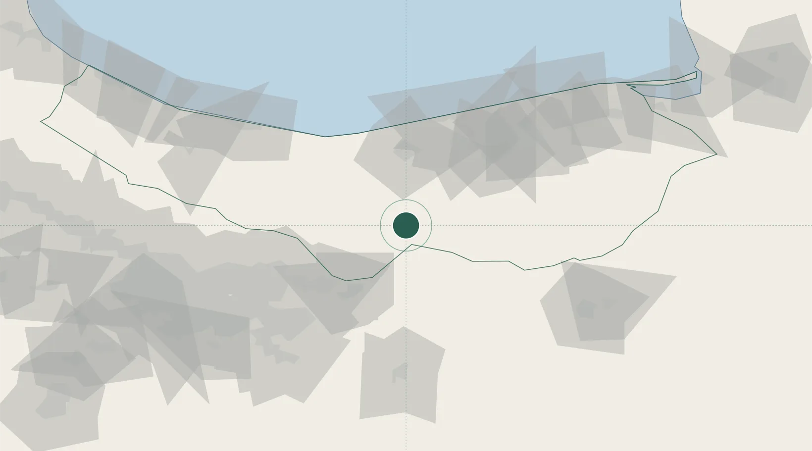
Nearby Logistics Neighbours

Cities
  1. 1Freidoon Kenar71 km
  2. 2Neka116 km
  3. 3Bandar Amirabad118 km
  4. 4Ali Shah Avaz128 km
  5. 5Bandar Neka136 km
Nearest neighbours — logibook spatial index (haversine) over the source coordinates
Ports
  1. 1Bandar-E Mahshahr691 km
  2. 2Bandar Khomeyni698 km
  3. 3Khorramshahr739 km
  4. 4Abadan744 km
  5. 5Al Basrah749 km
Nearest neighbours — logibook spatial index (haversine) over the source coordinates
Airports
  1. 1Sari Dasht-e Naz International Airport97 km
  2. 2Nowshahr Airport104 km
  3. 3Mehrabad International Airport104 km
  4. 4Semnan Municipal Airport116 km
  5. 5Imam Khomeini International Airport132 km
Nearest neighbours — logibook spatial index (haversine) over the source coordinates
Trade Zones
  1. 1Yazd Special Economic Zone94 km
  2. 2Garmsar Special Economic Zone96 km
  3. 3Noshahr Special Economic Zone100 km
  4. 4Bandar Nowshahr Special Economic Zone100 km
  5. 5Mehran Special Economic Zone103 km
Nearest neighbours — logibook spatial index (haversine) over the source coordinates
DatabookThe Record of Consolidated Knowledge
Iran beyond logistics?
Browse databook

All Sources

LocationsUN/LOCODE
UN/LOCODE — free
Portsthe NGA World Port Index
Public domain (US gov)
AirportsOurAirports
Public domain
Trade Zonesthe World Bank SEZ database
CC BY 4.0
Trade ZonesOpen Zone Map
CC BY
← Iran locations