Transport Functions
Port
Rail
Road
Multimodal
Postal
Hub Profile
Region
21
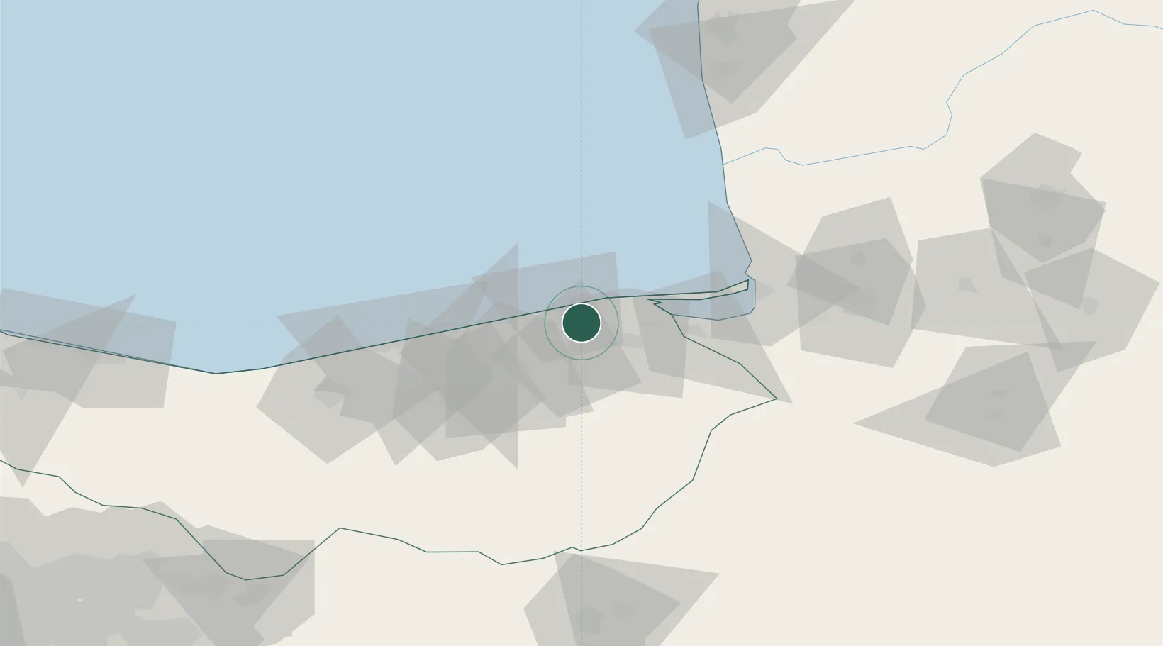
Location
Nearby Logistics Neighbours
Cities
- 1Neka9 km
- 2Bandar Neka19 km
- 3Bandar-e Gaz53 km
- 4Freidoon Kenar72 km
- 5Amir Abad Pt118 km
Ports
- 1Bandar-E Mahshahr801 km
- 2Bandar Khomeyni809 km
- 3Khorramshahr853 km
- 4Abadan857 km
- 5Al Basrah864 km
Airports
- 1Sari Dasht-e Naz International Airport21 km
- 2Gorgan Airport95 km
- 3Semnan Municipal Airport133 km
- 4Nowshahr Airport169 km
- 5Mehrabad International Airport219 km
Trade Zones
DatabookThe Record of Consolidated Knowledge
Iran beyond logistics?