Transport Functions
Port
Hub Profile
Place type
Provincial seat
Region
Māzandarān
Population
48,847
Time zone
Asia/Tehran
Elevation
50 m
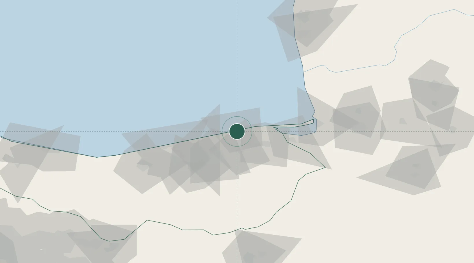
Location
Nearby Logistics Neighbours
Cities
- 1Bandar Amirabad9 km
- 2Bandar Neka24 km
- 3Bandar-e Gaz61 km
- 4Freidoon Kenar66 km
- 5Amir Abad Pt116 km
Ports
- 1Bandar-E Mahshahr802 km
- 2Bandar Khomeyni810 km
- 3Khorramshahr853 km
- 4Abadan857 km
- 5Al Basrah863 km
Airports
- 1Sari Dasht-e Naz International Airport22 km
- 2Gorgan Airport101 km
- 3Semnan Municipal Airport140 km
- 4Nowshahr Airport162 km
- 5Mehrabad International Airport216 km
Trade Zones
DatabookThe Record of Consolidated Knowledge
Iran beyond logistics?