Large airport · Iran

Mehrabad International AirportOIII
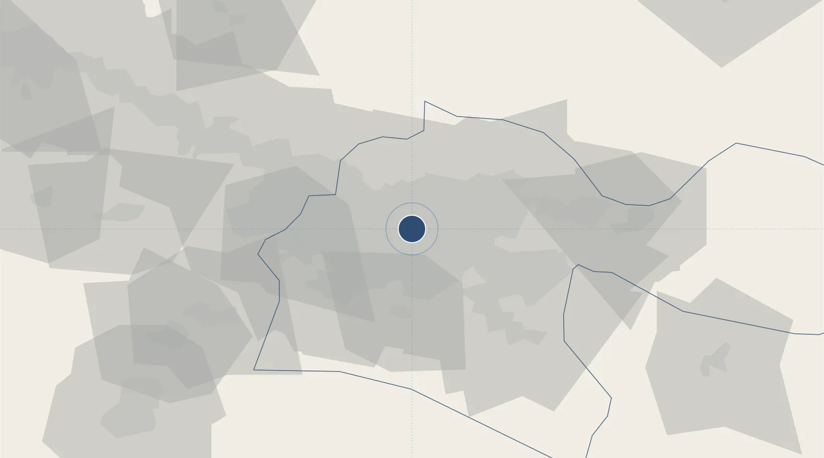
35.6892°, 51.3144°
13,258 ft
Longest runway
2
Runways
3,962 ft
Elevation

Runway & Layout

Mehrabad International Airport runway & taxiway layout
Runway & taxiway layout — OpenStreetMap (ODbL) / OurAirports

Radio Frequencies

ATIS
128 MHz
TWR
118.1 MHz
GND
121.7 MHz
APP
119.7 MHz
OurAirports

Navaids

THR TACAN Tehran 113.30 MHz
TRN VOR-DME Tehran 115.30 MHz
OurAirports

Runways · 2

RunwayDimensions SurfaceTrue headingLit
11R/29L 13,258 × 197ft Asphalt 109°
11L/29R 13,087 × 148ft Asphalt 109°
OurAirports

Airport Specifications

IATA code
THR
OurAirports
ICAO code
OIII
OurAirports
Airport class
Large airport
OurAirports
Scheduled service
Yes
OurAirports
Runway surface
Asphalt
OurAirports
Served city
Tehran
OurAirports

Location

Location of OIII
Natural Earth 10m (public domain) · Tehran · OIII · 35.69, 51.31GoogleOSMYandex

Nearby Logistics Neighbours

Airports
  1. 1Imam Khomeini International Airport34 km
  2. 2Payam International Airport45 km
  3. 3Nowshahr Airport109 km
  4. 4Qazvin Airport130 km
  5. 5Ramsar Airport147 km
Nearest neighbours — logibook spatial index (haversine) over the source coordinates
Cities
  1. 1Ali Shah Avaz24 km
  2. 2Amir Abad Pt104 km
  3. 3Malekan121 km
  4. 4Freidoon Kenar158 km
  5. 5Abhar195 km
Nearest neighbours — logibook spatial index (haversine) over the source coordinates
Ports
  1. 1Bandar-E Mahshahr614 km
  2. 2Bandar Khomeyni620 km
  3. 3Khorramshahr653 km
  4. 4Abadan659 km
  5. 5Al Basrah660 km
Nearest neighbours — logibook spatial index (haversine) over the source coordinates
Trade Zones
  1. 1Mehran Special Economic Zone5 km
  2. 2Yazd Special Economic Zone12 km
  3. 3New Arg Special Economic Zone30 km
  4. 4City‌ Imam Khomeini ‌Airport34 km
  5. 5Rey Special Economic Zone42 km
Nearest neighbours — logibook spatial index (haversine) over the source coordinates
DatabookThe Record of Consolidated Knowledge
Iran beyond logistics?
Browse databook

All Sources

AirportsOurAirports
Public domain
Portsthe NGA World Port Index
Public domain (US gov)
LocationsUN/LOCODE
UN/LOCODE — free
Trade Zonesthe World Bank SEZ database
CC BY 4.0
Trade ZonesOpen Zone Map
CC BY
InfrastructureOpenStreetMap
ODbL 1.0
← Iran airports