Large airport · Iran

Payam International AirportOIIP
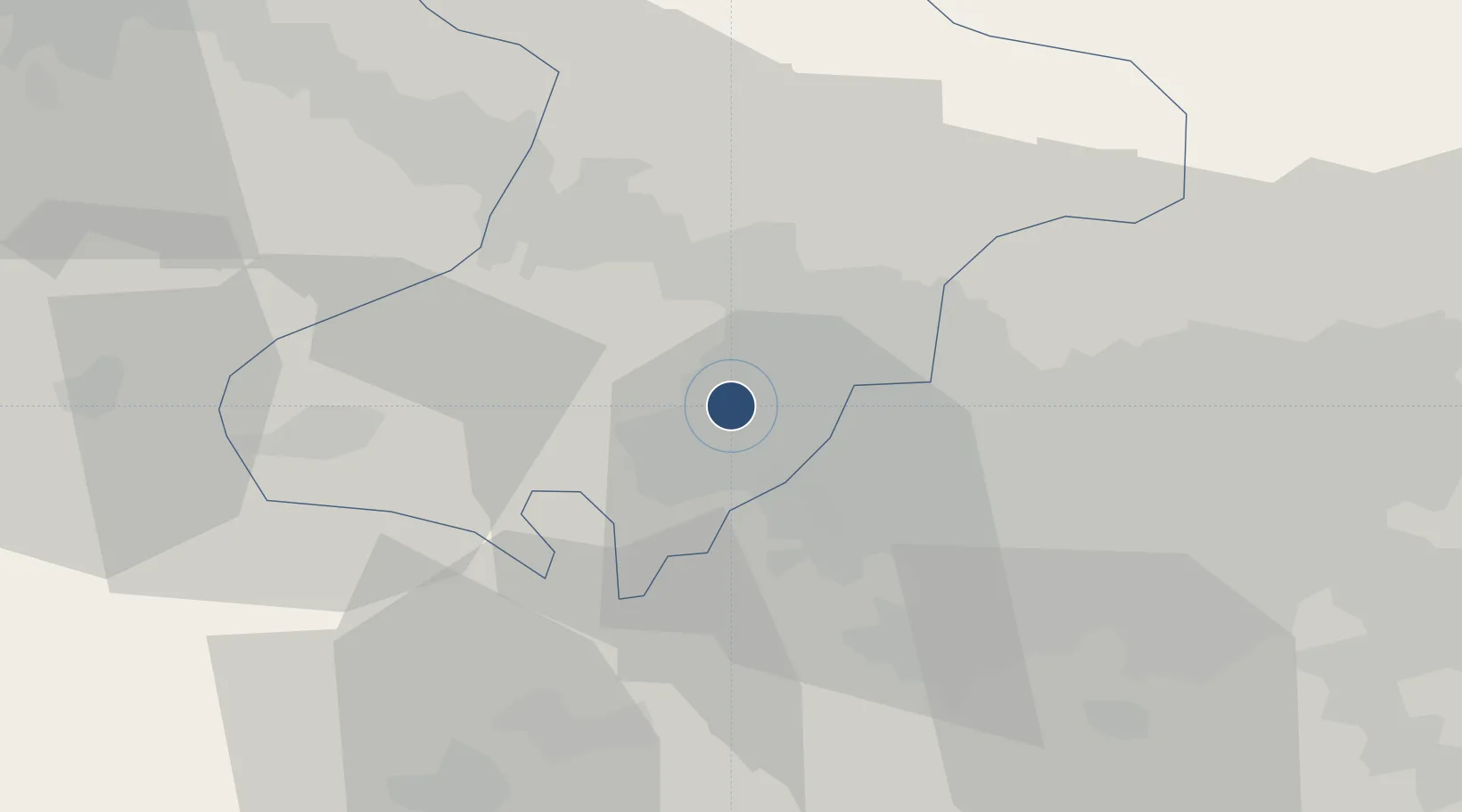
35.7761°, 50.8267°
12,005 ft
Longest runway
1
Runways
4,170 ft
Elevation

Runway & Layout

Payam International Airport runway & taxiway layout
Runway & taxiway layout — OpenStreetMap (ODbL) / OurAirports

Radio Frequencies

ATIS
117.5 MHz
AFIS
118.4 MHz
INFO
OurAirports

Navaids

PIM VOR-DME Payam 117.50 MHz
PIM NDB Payam 306 kHz
OurAirports

Runways · 1

RunwayDimensions SurfaceTrue headingLit
12/30 12,005 × 197ft Asphalt 128°
OurAirports

Airport Specifications

IATA code
PYK
OurAirports
ICAO code
OIIP
OurAirports
Airport class
Large airport
OurAirports
Scheduled service
Yes
OurAirports
Runway surface
Asphalt
OurAirports
Served city
Karaj
OurAirports

Location

Location of OIIP
Natural Earth 10m (public domain) · Alborz · OIIP · 35.78, 50.83GoogleOSMYandex

Nearby Logistics Neighbours

Airports
  1. 1Mehrabad International Airport45 km
  2. 2Imam Khomeini International Airport50 km
  3. 3Qazvin Airport87 km
  4. 4Nowshahr Airport114 km
  5. 5Ramsar Airport126 km
Nearest neighbours — logibook spatial index (haversine) over the source coordinates
Cities
  1. 1Ali Shah Avaz25 km
  2. 2Malekan131 km
  3. 3Amir Abad Pt143 km
  4. 4Abhar150 km
  5. 5Freidoon Kenar186 km
Nearest neighbours — logibook spatial index (haversine) over the source coordinates
Ports
  1. 1Bandar-E Mahshahr610 km
  2. 2Bandar Khomeyni616 km
  3. 3Khorramshahr643 km
  4. 4Al Basrah648 km
  5. 5Abadan650 km
Nearest neighbours — logibook spatial index (haversine) over the source coordinates
Trade Zones
  1. 1Payam Special Economic Zone2 km
  2. 2New Arg Special Economic Zone18 km
  3. 3Persian Gulf Ship Manufacturing32 km
  4. 4Mehran Special Economic Zone44 km
  5. 5City‌ Imam Khomeini ‌Airport50 km
Nearest neighbours — logibook spatial index (haversine) over the source coordinates
DatabookThe Record of Consolidated Knowledge
Iran beyond logistics?
Browse databook

All Sources

AirportsOurAirports
Public domain
Portsthe NGA World Port Index
Public domain (US gov)
LocationsUN/LOCODE
UN/LOCODE — free
Trade Zonesthe World Bank SEZ database
CC BY 4.0
Trade ZonesOpen Zone Map
CC BY
InfrastructureOpenStreetMap
ODbL 1.0
← Iran airports