Diversified Zone · Iran

Yazd Special Economic Zone Active
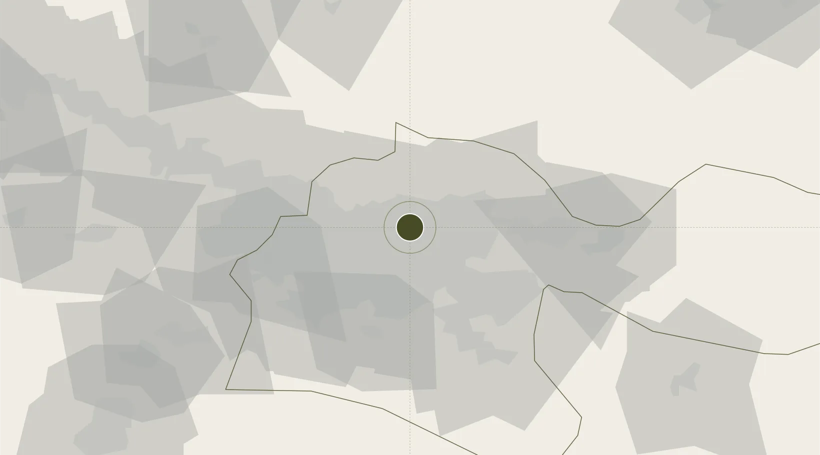
35.7633°, 51.4044°
570 ha
Zone area
624.2 km
Nearest port
11.6 km
Nearest airport

Gateway access

Nearest neighbours — logibook spatial index (haversine) over the source coordinates

Zone profile

Zone type
Diversified Zone
Open Zone Map
Region
Tehran
Open Zone Map
Status
Active
Open Zone Map
Management
Public
Open Zone Map
Operator
Yazd Industrial Parks Company
Open Zone Map
Legal framework
Law of Establishment and Administration of Special Economic Zones of Islamic Republic of Iran
Open Zone Map

Location

Location of ozm-2477
Natural Earth 10m (public domain) · Tehran · ozm-2477 · 35.76, 51.40GoogleOSMYandex

Nearby Logistics Neighbours

Ports
  1. 1Bandar-E Mahshahr624 km
  2. 2Bandar Khomeyni631 km
  3. 3Khorramshahr664 km
  4. 4Abadan670 km
  5. 5Al Basrah671 km
Nearest neighbours — logibook spatial index (haversine) over the source coordinates
Airports
  1. 1Mehrabad International Airport12 km
  2. 2Imam Khomeini International Airport45 km
  3. 3Payam International Airport52 km
  4. 4Nowshahr Airport100 km
  5. 5Qazvin Airport133 km
Nearest neighbours — logibook spatial index (haversine) over the source coordinates
Cities
  1. 1Ali Shah Avaz34 km
  2. 2Amir Abad Pt94 km
  3. 3Malekan131 km
  4. 4Freidoon Kenar146 km
  5. 5Abhar201 km
Nearest neighbours — logibook spatial index (haversine) over the source coordinates
Trade Zones
  1. 1Mehran Special Economic Zone9 km
  2. 2New Arg Special Economic Zone35 km
  3. 3City‌ Imam Khomeini ‌Airport45 km
  4. 4Payam Special Economic Zone51 km
  5. 5Rey Special Economic Zone52 km
Nearest neighbours — logibook spatial index (haversine) over the source coordinates
DatabookThe Record of Consolidated Knowledge
Iran beyond logistics?
Browse databook

All Sources

Trade ZonesOpen Zone Map
CC BY
Portsthe NGA World Port Index
Public domain (US gov)
AirportsOurAirports
Public domain
LocationsUN/LOCODE
UN/LOCODE — free
← Iran trade zones