UN/LOCODE hub · Iran
IRFKR

Freidoon Kenar

36.7000°, 52.5500°
1
Transport functions

Transport Functions

Port
UN/LOCODE

Hub Profile

Region
21
GeoNames

Location

Location of IRFKR
Natural Earth 10m (public domain) · 21 · IRFKR · 36.70, 52.55GoogleOSMYandex

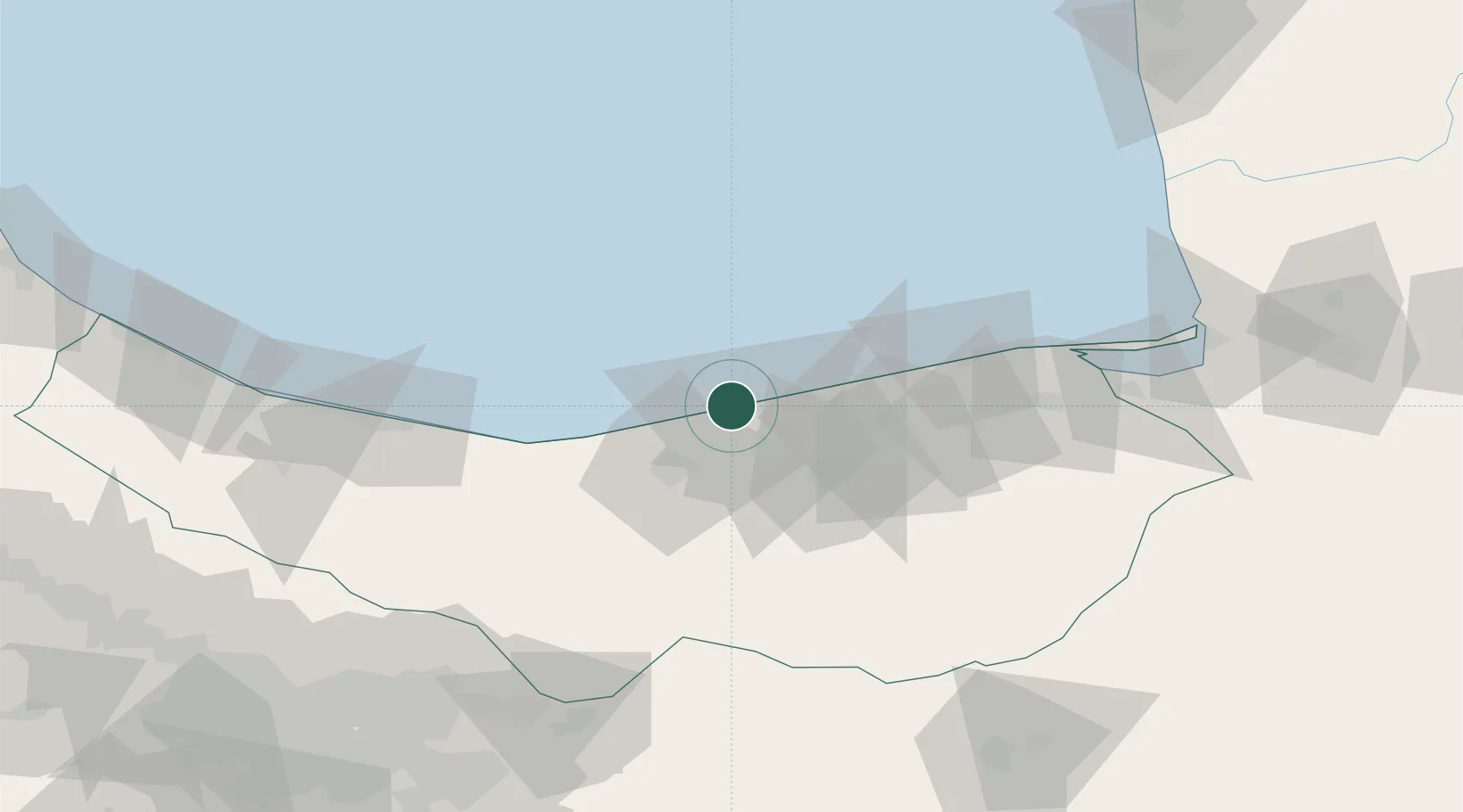
Nearby Logistics Neighbours

Cities
  1. 1Neka66 km
  2. 2Amir Abad Pt71 km
  3. 3Bandar Amirabad72 km
  4. 4Bandar Neka90 km
  5. 5Bandar-e Gaz125 km
Nearest neighbours — logibook spatial index (haversine) over the source coordinates
Ports
  1. 1Bandar-E Mahshahr760 km
  2. 2Bandar Khomeyni767 km
  3. 3Khorramshahr806 km
  4. 4Abadan811 km
  5. 5Al Basrah814 km
Nearest neighbours — logibook spatial index (haversine) over the source coordinates
Airports
  1. 1Sari Dasht-e Naz International Airport57 km
  2. 2Nowshahr Airport97 km
  3. 3Semnan Municipal Airport150 km
  4. 4Mehrabad International Airport158 km
  5. 5Gorgan Airport167 km
Nearest neighbours — logibook spatial index (haversine) over the source coordinates
Trade Zones
  1. 1Amirabad Port75 km
  2. 2Bandar Nowshahr Special Economic Zone93 km
  3. 3Noshahr Special Economic Zone93 km
  4. 4Semnan Special Economic Zone144 km
  5. 5Yazd Special Economic Zone146 km
Nearest neighbours — logibook spatial index (haversine) over the source coordinates
DatabookThe Record of Consolidated Knowledge
Iran beyond logistics?
Browse databook

All Sources

LocationsUN/LOCODE
UN/LOCODE — free
Portsthe NGA World Port Index
Public domain (US gov)
AirportsOurAirports
Public domain
Trade Zonesthe World Bank SEZ database
CC BY 4.0
Trade ZonesOpen Zone Map
CC BY
← Iran locations