Medium airport · Iran

Nowshahr AirportOINN
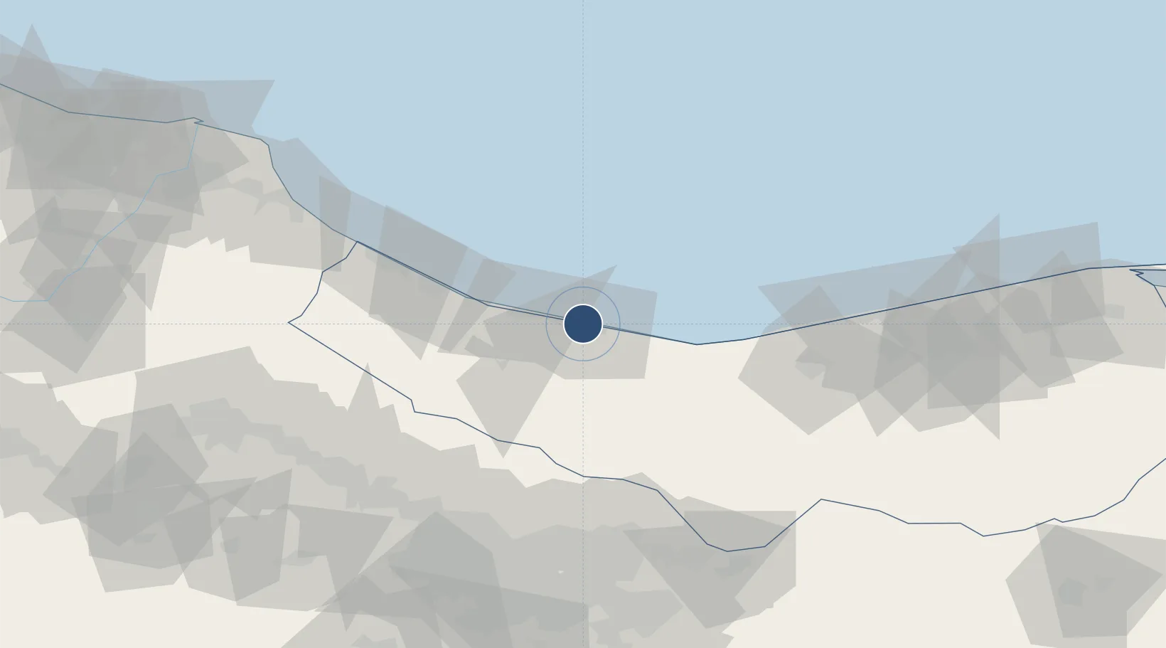
36.6643°, 51.4627°
6,677 ft
Longest runway
1
Runways
-61 ft
Elevation

Runway & Layout

Nowshahr Airport runway & taxiway layout
Runway & taxiway layout — OpenStreetMap (ODbL) / OurAirports

Radio Frequencies

TWR
124.6 MHz
OurAirports

Navaids

NSR NDB-DME Noshahr 0.26 MHz
OurAirports

Runways · 1

RunwayDimensions SurfaceTrue headingLit
10/28 6,677 × 115ft Asphalt 109°
OurAirports

Airport Specifications

IATA code
NSH
OurAirports
ICAO code
OINN
OurAirports
Airport class
Medium airport
OurAirports
Scheduled service
Yes
OurAirports
Runway surface
Asphalt
OurAirports
Served city
Nowshahr
OurAirports

Location

Location of OINN
Natural Earth 10m (public domain) · Mazandaran · OINN · 36.66, 51.46GoogleOSMYandex

Nearby Logistics Neighbours

Airports
  1. 1Ramsar Airport74 km
  2. 2Mehrabad International Airport109 km
  3. 3Payam International Airport114 km
  4. 4Qazvin Airport135 km
  5. 5Imam Khomeini International Airport142 km
Nearest neighbours — logibook spatial index (haversine) over the source coordinates
Cities
  1. 1Freidoon Kenar97 km
  2. 2Amir Abad Pt104 km
  3. 3Ali Shah Avaz119 km
  4. 4Neka162 km
  5. 5Bandar Amirabad169 km
Nearest neighbours — logibook spatial index (haversine) over the source coordinates
Ports
  1. 1Bandar-E Mahshahr721 km
  2. 2Bandar Khomeyni727 km
  3. 3Khorramshahr756 km
  4. 4Al Basrah762 km
  5. 5Abadan763 km
Nearest neighbours — logibook spatial index (haversine) over the source coordinates
Trade Zones
  1. 1Bandar Nowshahr Special Economic Zone4 km
  2. 2Noshahr Special Economic Zone4 km
  3. 3Yazd Special Economic Zone100 km
  4. 4New Arg Special Economic Zone102 km
  5. 5Mehran Special Economic Zone105 km
Nearest neighbours — logibook spatial index (haversine) over the source coordinates
DatabookThe Record of Consolidated Knowledge
Iran beyond logistics?
Browse databook

All Sources

AirportsOurAirports
Public domain
Portsthe NGA World Port Index
Public domain (US gov)
LocationsUN/LOCODE
UN/LOCODE — free
Trade Zonesthe World Bank SEZ database
CC BY 4.0
Trade ZonesOpen Zone Map
CC BY
InfrastructureOpenStreetMap
ODbL 1.0
← Iran airports