Export Processing Zone · Iran

Payam Special Economic Zone Active
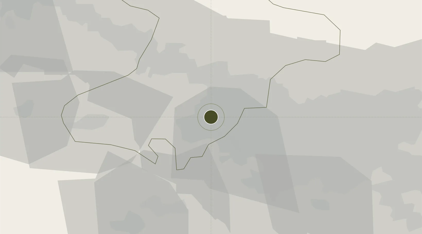
35.7647°, 50.8350°
3,600 ha
Zone area
608.8 km
Nearest port
1.5 km
Nearest airport

Gateway access

Nearest neighbours — logibook spatial index (haversine) over the source coordinates

Zone profile

Zone type
Export Processing Zone
Open Zone Map
Region
Alborz
Open Zone Map
Status
Active
Open Zone Map
Management
Public
Open Zone Map
Operator
Payam Specialized Zone (Aviation) Services Company
Open Zone Map
Legal framework
Law of Establishment and Administration of Special Economic Zones of Islamic Republic of Iran
Open Zone Map

Location

Location of ozm-2516
Natural Earth 10m (public domain) · Alborz · ozm-2516 · 35.76, 50.83GoogleOSMYandex

Nearby Logistics Neighbours

Ports
  1. 1Bandar-E Mahshahr609 km
  2. 2Bandar Khomeyni615 km
  3. 3Khorramshahr642 km
  4. 4Al Basrah647 km
  5. 5Abadan649 km
Nearest neighbours — logibook spatial index (haversine) over the source coordinates
Airports
  1. 1Payam International Airport2 km
  2. 2Mehrabad International Airport44 km
  3. 3Imam Khomeini International Airport48 km
  4. 4Qazvin Airport88 km
  5. 5Nowshahr Airport115 km
Nearest neighbours — logibook spatial index (haversine) over the source coordinates
Cities
  1. 1Ali Shah Avaz23 km
  2. 2Malekan130 km
  3. 3Amir Abad Pt142 km
  4. 4Abhar151 km
  5. 5Freidoon Kenar186 km
Nearest neighbours — logibook spatial index (haversine) over the source coordinates
Trade Zones
  1. 1New Arg Special Economic Zone18 km
  2. 2Persian Gulf Ship Manufacturing33 km
  3. 3Mehran Special Economic Zone43 km
  4. 4City‌ Imam Khomeini ‌Airport49 km
  5. 5Yazd Special Economic Zone51 km
Nearest neighbours — logibook spatial index (haversine) over the source coordinates
DatabookThe Record of Consolidated Knowledge
Iran beyond logistics?
Browse databook

All Sources

Trade ZonesOpen Zone Map
CC BY
Portsthe NGA World Port Index
Public domain (US gov)
AirportsOurAirports
Public domain
LocationsUN/LOCODE
UN/LOCODE — free
← Iran trade zones