Medium airport · Iran
Qazvin AirportOIIK
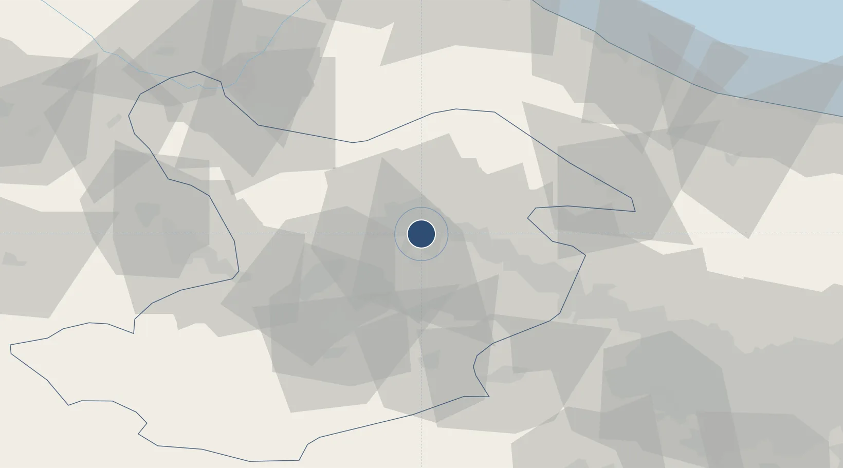
36.2401°, 50.0471°
3,670 ft
Longest runway
1
Runways
4,184 ft
Elevation
Runway & Layout

Radio Frequencies
AFIS
118.3 MHz
INFO
Manual
135.7 MHz
Meraj Dispatch
TIBA
135.175 MHz
Runways · 1
| Runway | Dimensions | Surface | True heading | Lit |
|---|---|---|---|---|
| 10/28 | 3,670 × 131ft | Asphalt | 100° | — |
Airport Specifications
IATA code
GZW
ICAO code
OIIK
Airport class
Medium airport
Scheduled service
No
Runway surface
Asphalt
Served city
Qazvin
Location
Nearby Logistics Neighbours
Airports
- 1Payam International Airport87 km
- 2Ramsar Airport94 km
- 3Sardar-e-Jangal Airport126 km
- 4Mehrabad International Airport130 km
- 5Nowshahr Airport135 km
Cities
- 1Abhar76 km
- 2Ali Shah Avaz112 km
- 3Bandar-e Anzali146 km
- 4Zanjan149 km
- 5Malekan204 km
Ports
- 1Bandar-E Mahshahr647 km
- 2Bandar Khomeyni652 km
- 3Khorramshahr668 km
- 4Al Basrah669 km
- 5Abadan677 km
Trade Zones
DatabookThe Record of Consolidated Knowledge
Iran beyond logistics?