Diversified Zone · Iran

Mehran Special Economic Zone Under Development
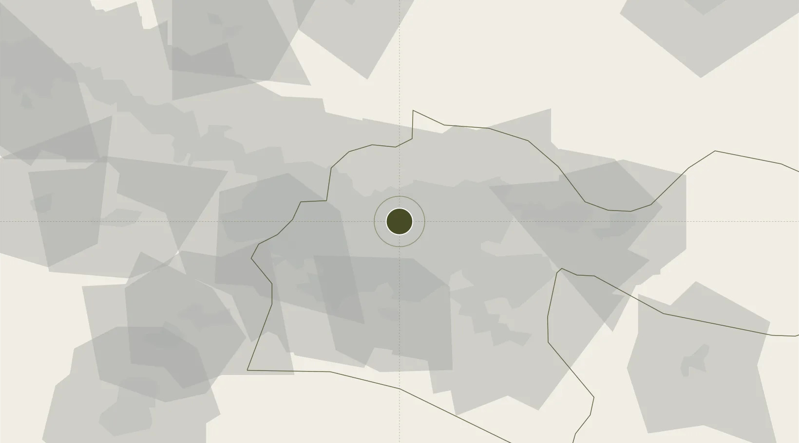
35.7322°, 51.3104°
800 ha
Zone area
618.1 km
Nearest port
4.8 km
Nearest airport

Gateway access

Nearest neighbours — logibook spatial index (haversine) over the source coordinates

Zone profile

Zone type
Diversified Zone
Open Zone Map
Region
Tehran
Open Zone Map
Status
Under Development
Open Zone Map
Management
Public
Open Zone Map
Operator
Industrial Parks Company of Semnan Province
Open Zone Map
Legal framework
Law of Establishment and Administration of Special Economic Zones of Islamic Republic of Iran
Open Zone Map

Location

Location of ozm-2478
Natural Earth 10m (public domain) · Tehran · ozm-2478 · 35.73, 51.31GoogleOSMYandex

Nearby Logistics Neighbours

Ports
  1. 1Bandar-E Mahshahr618 km
  2. 2Bandar Khomeyni625 km
  3. 3Khorramshahr657 km
  4. 4Abadan663 km
  5. 5Al Basrah664 km
Nearest neighbours — logibook spatial index (haversine) over the source coordinates
Airports
  1. 1Mehrabad International Airport5 km
  2. 2Imam Khomeini International Airport38 km
  3. 3Payam International Airport44 km
  4. 4Nowshahr Airport105 km
  5. 5Qazvin Airport127 km
Nearest neighbours — logibook spatial index (haversine) over the source coordinates
Cities
  1. 1Ali Shah Avaz25 km
  2. 2Amir Abad Pt103 km
  3. 3Malekan126 km
  4. 4Freidoon Kenar155 km
  5. 5Abhar194 km
Nearest neighbours — logibook spatial index (haversine) over the source coordinates
Trade Zones
  1. 1Yazd Special Economic Zone9 km
  2. 2New Arg Special Economic Zone28 km
  3. 3City‌ Imam Khomeini ‌Airport39 km
  4. 4Payam Special Economic Zone43 km
  5. 5Rey Special Economic Zone46 km
Nearest neighbours — logibook spatial index (haversine) over the source coordinates
DatabookThe Record of Consolidated Knowledge
Iran beyond logistics?
Browse databook

All Sources

Trade ZonesOpen Zone Map
CC BY
Portsthe NGA World Port Index
Public domain (US gov)
AirportsOurAirports
Public domain
LocationsUN/LOCODE
UN/LOCODE — free
← Iran trade zones