Transport Functions
Multimodal
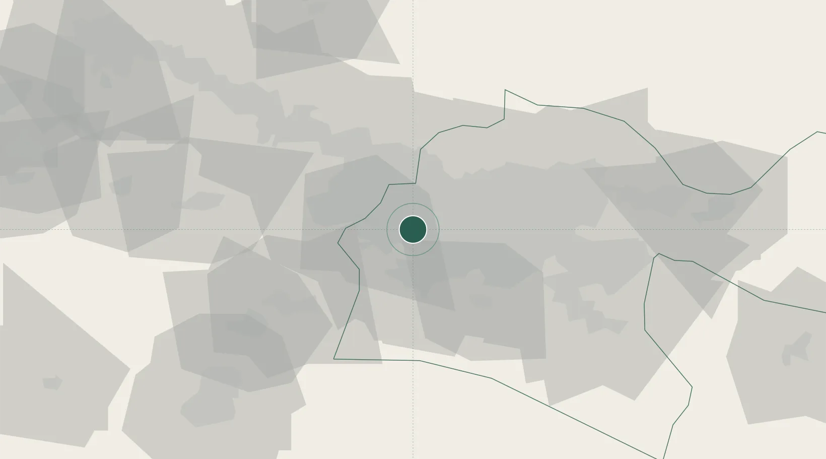
Hub Profile
Region
23
Location
Nearby Logistics Neighbours
Cities
- 1Malekan115 km
- 2Amir Abad Pt128 km
- 3Abhar174 km
- 4Freidoon Kenar178 km
- 5Baneh229 km
Ports
- 1Bandar-E Mahshahr602 km
- 2Bandar Khomeyni608 km
- 3Khorramshahr639 km
- 4Al Basrah645 km
- 5Abadan645 km
Airports
- 1Mehrabad International Airport24 km
- 2Payam International Airport25 km
- 3Imam Khomeini International Airport28 km
- 4Qazvin Airport112 km
- 5Nowshahr Airport119 km
Trade Zones
DatabookThe Record of Consolidated Knowledge
Iran beyond logistics?