Medium airport · Iran
Ramsar AirportOINR
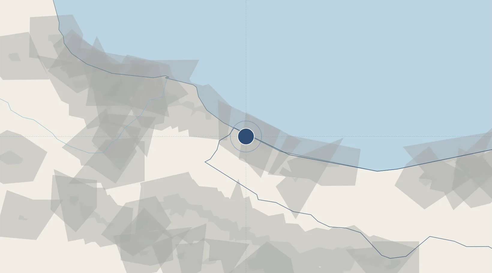
36.9070°, 50.6873°
7,448 ft
Longest runway
2
Runways
-70 ft
Elevation
Runway & Layout

Radio Frequencies
TWR
122.9 MHz
Navaids
RSR NDB-DME Ramsar 0.33 MHz
Runways · 2
| Runway | Dimensions | Surface | True heading | Lit |
|---|---|---|---|---|
| 12/30 | 7,448 × 148ft | Concrete | — | ✓ |
| 13/31 | 4,920 × 98ft | Asphalt | 130° | ✓ |
Airport Specifications
IATA code
RZR
ICAO code
OINR
Airport class
Medium airport
Scheduled service
Yes
Runway surface
Concrete
Served city
Ramsar
Location
Nearby Logistics Neighbours
Airports
- 1Nowshahr Airport74 km
- 2Qazvin Airport94 km
- 3Sardar-e-Jangal Airport106 km
- 4Payam International Airport126 km
- 5Mehrabad International Airport147 km
Cities
- 1Bandar-e Anzali125 km
- 2Ali Shah Avaz144 km
- 3Abhar157 km
- 4Freidoon Kenar167 km
- 5Amir Abad Pt176 km
Ports
- 1Bandar-E Mahshahr730 km
- 2Bandar Khomeyni735 km
- 3Khorramshahr756 km
- 4Al Basrah758 km
- 5Abadan764 km
Trade Zones
DatabookThe Record of Consolidated Knowledge
Iran beyond logistics?