Diversified Zone · Iran

New Arg Special Economic Zone Active
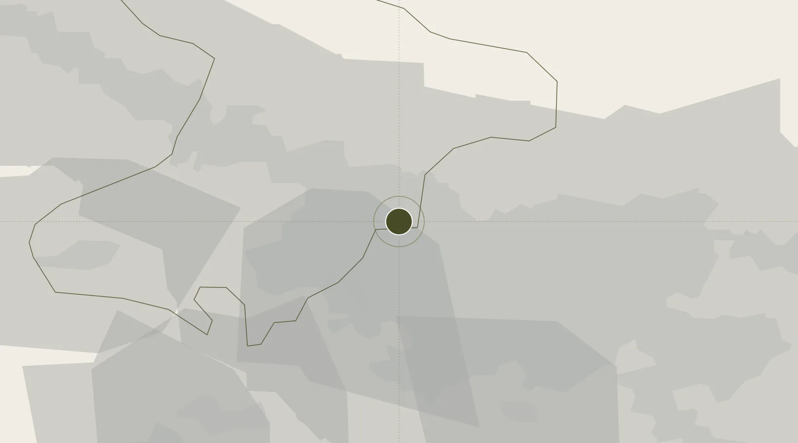
35.8169°, 51.0195°
0 ha
Zone area
619.0 km
Nearest port
18.0 km
Nearest airport

Gateway access

Nearest neighbours — logibook spatial index (haversine) over the source coordinates

Zone profile

Zone type
Diversified Zone
Open Zone Map
Region
Alborz
Open Zone Map
Status
Active
Open Zone Map
Management
Public
Open Zone Map
Operator
Citadel Civil Company
Open Zone Map
Legal framework
Law of Establishment and Administration of Special Economic Zones of Islamic Republic of Iran
Open Zone Map

Location

Location of ozm-2465
Natural Earth 10m (public domain) · Alborz · ozm-2465 · 35.82, 51.02GoogleOSMYandex

Nearby Logistics Neighbours

Ports
  1. 1Bandar-E Mahshahr619 km
  2. 2Bandar Khomeyni625 km
  3. 3Khorramshahr654 km
  4. 4Al Basrah660 km
  5. 5Abadan661 km
Nearest neighbours — logibook spatial index (haversine) over the source coordinates
Airports
  1. 1Payam International Airport18 km
  2. 2Mehrabad International Airport30 km
  3. 3Imam Khomeini International Airport46 km
  4. 4Qazvin Airport99 km
  5. 5Nowshahr Airport102 km
Nearest neighbours — logibook spatial index (haversine) over the source coordinates
Cities
  1. 1Ali Shah Avaz19 km
  2. 2Amir Abad Pt125 km
  3. 3Malekan134 km
  4. 4Abhar166 km
  5. 5Freidoon Kenar169 km
Nearest neighbours — logibook spatial index (haversine) over the source coordinates
Trade Zones
  1. 1Payam Special Economic Zone18 km
  2. 2Mehran Special Economic Zone28 km
  3. 3Yazd Special Economic Zone35 km
  4. 4City‌ Imam Khomeini ‌Airport47 km
  5. 5Persian Gulf Ship Manufacturing49 km
Nearest neighbours — logibook spatial index (haversine) over the source coordinates
DatabookThe Record of Consolidated Knowledge
Iran beyond logistics?
Browse databook

All Sources

Trade ZonesOpen Zone Map
CC BY
Portsthe NGA World Port Index
Public domain (US gov)
AirportsOurAirports
Public domain
LocationsUN/LOCODE
UN/LOCODE — free
← Iran trade zones