Transport Functions
Multimodal
Hub Profile
Place type
Populated place
Region
Qom Province
Time zone
Asia/Tehran
Elevation
855 m
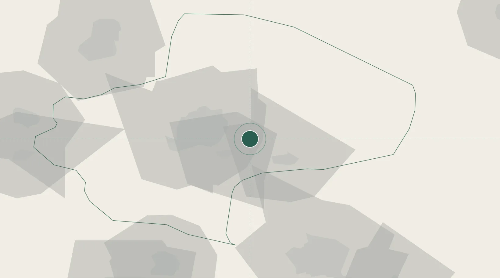
Location
Nearby Logistics Neighbours
Cities
- 1Ali Shah Avaz115 km
- 2Baneh166 km
- 3Amir Abad Pt200 km
- 4Abhar240 km
- 5Freidoon Kenar266 km
Ports
- 1Bandar-E Mahshahr495 km
- 2Bandar Khomeyni502 km
- 3Khorramshahr540 km
- 4Abadan545 km
- 5Al Basrah549 km
Airports
- 1Imam Khomeini International Airport89 km
- 2Kashan Airport91 km
- 3Mehrabad International Airport121 km
- 4Payam International Airport131 km
- 5Qazvin Airport204 km
Trade Zones
DatabookThe Record of Consolidated Knowledge
Iran beyond logistics?