Export Processing Zone · Iran

Persian Gulf Ship Manufacturing Active
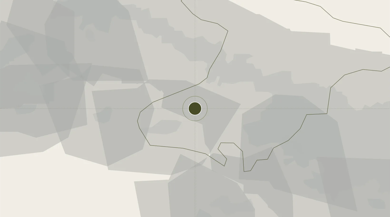
35.8263°, 50.4819°
1,100 ha
Zone area
608.1 km
Nearest port
31.6 km
Nearest airport

Gateway access

Nearest neighbours — logibook spatial index (haversine) over the source coordinates

Zone profile

Zone type
Export Processing Zone
Open Zone Map
Region
Alborz
Open Zone Map
Status
Active
Open Zone Map
Management
Private
Open Zone Map
Operator
Iranian Shipbuilding and Offshore Industries Complex Company
Open Zone Map
Legal framework
Law of Establishment and Administration of Special Economic Zones of Islamic Republic of Iran
Open Zone Map

Location

Location of ozm-2513
Natural Earth 10m (public domain) · Alborz · ozm-2513 · 35.83, 50.48GoogleOSMYandex

Nearby Logistics Neighbours

Ports
  1. 1Bandar-E Mahshahr608 km
  2. 2Bandar Khomeyni614 km
  3. 3Khorramshahr637 km
  4. 4Al Basrah640 km
  5. 5Abadan644 km
Nearest neighbours — logibook spatial index (haversine) over the source coordinates
Airports
  1. 1Payam International Airport32 km
  2. 2Qazvin Airport60 km
  3. 3Imam Khomeini International Airport76 km
  4. 4Mehrabad International Airport77 km
  5. 5Ramsar Airport122 km
Nearest neighbours — logibook spatial index (haversine) over the source coordinates
Cities
  1. 1Ali Shah Avaz55 km
  2. 2Abhar119 km
  3. 3Malekan146 km
  4. 4Amir Abad Pt172 km
  5. 5Zanjan203 km
Nearest neighbours — logibook spatial index (haversine) over the source coordinates
Trade Zones
  1. 1Payam Special Economic Zone33 km
  2. 2New Arg Special Economic Zone49 km
  3. 3Zarandieh Special Economic Zone58 km
  4. 4Mehran Special Economic Zone76 km
  5. 5City‌ Imam Khomeini ‌Airport76 km
Nearest neighbours — logibook spatial index (haversine) over the source coordinates
DatabookThe Record of Consolidated Knowledge
Iran beyond logistics?
Browse databook

All Sources

Trade ZonesOpen Zone Map
CC BY
Portsthe NGA World Port Index
Public domain (US gov)
AirportsOurAirports
Public domain
LocationsUN/LOCODE
UN/LOCODE — free
← Iran trade zones