Transport Functions
Multimodal
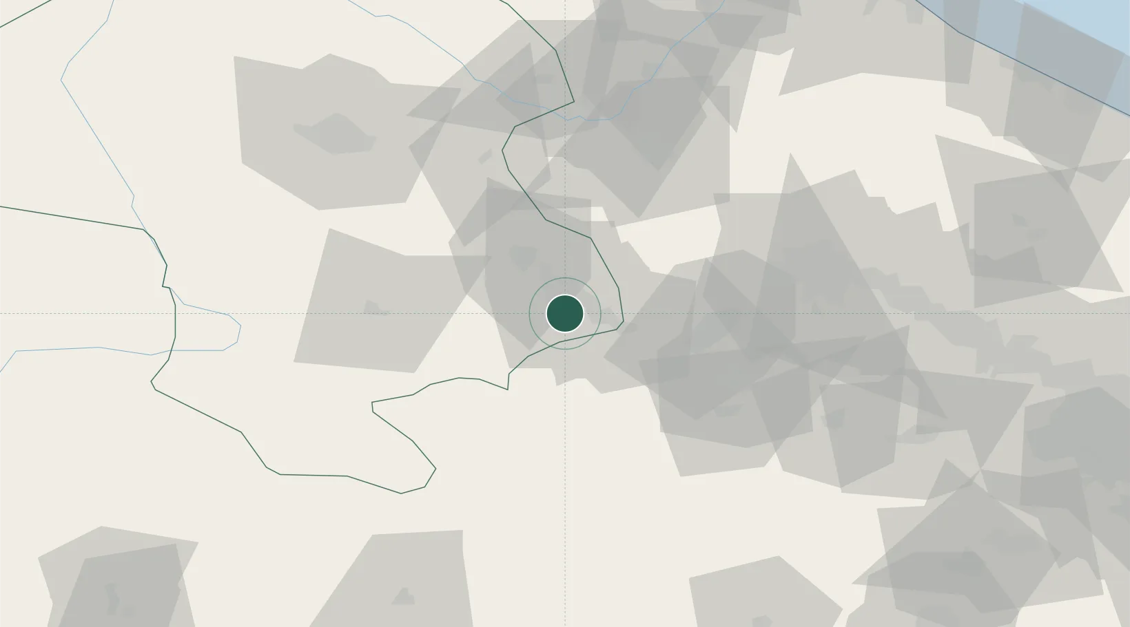
Hub Profile
Place type
Provincial seat
Region
Zanjan
Population
69,889
Time zone
Asia/Tehran
Elevation
1,541 m
Location
Nearby Logistics Neighbours
Cities
- 1Zanjan90 km
- 2Bandar-e Anzali150 km
- 3Ali Shah Avaz174 km
- 4Baneh229 km
- 5Malekan240 km
Ports
- 1Bandar-E Mahshahr630 km
- 2Bandar Khomeyni634 km
- 3Al Basrah638 km
- 4Khorramshahr641 km
- 5Abadan651 km
Airports
- 1Qazvin Airport76 km
- 2Zanjan Airport105 km
- 3Nojeh Air Base114 km
- 4Sardar-e-Jangal Airport137 km
- 5Payam International Airport150 km
Trade Zones
DatabookThe Record of Consolidated Knowledge
Iran beyond logistics?