Large airport · Iran

Imam Khomeini International AirportOIIE
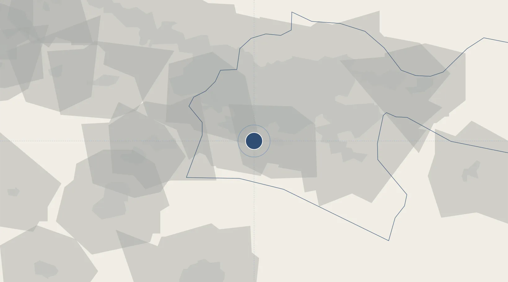
35.4161°, 51.1522°
13,772 ft
Longest runway
2
Runways
3,305 ft
Elevation

Runway & Layout

Imam Khomeini International Airport runway & taxiway layout
Runway & taxiway layout — OpenStreetMap (ODbL) / OurAirports

Radio Frequencies

ATIS
127.2 MHz
TWR
118.7 MHz
GND
121.6 MHz
OurAirports

Navaids

IKA VOR-DME Imam Khomeini 114.30 MHz
OurAirports

Runways · 2

RunwayDimensions SurfaceTrue headingLit
11L/29R 13,772 × 148ft Asphalt 109°
11R/29L 13,425 × 148ft Asphalt 109°
OurAirports

Airport Specifications

IATA code
IKA
OurAirports
ICAO code
OIIE
OurAirports
Airport class
Large airport
OurAirports
Scheduled service
Yes
OurAirports
Runway surface
Asphalt
OurAirports
Served city
Tehran
OurAirports

Location

Location of OIIE
Natural Earth 10m (public domain) · Tehran · OIIE · 35.42, 51.15GoogleOSMYandex

Nearby Logistics Neighbours

Airports
  1. 1Mehrabad International Airport34 km
  2. 2Payam International Airport50 km
  3. 3Qazvin Airport135 km
  4. 4Nowshahr Airport142 km
  5. 5Ramsar Airport171 km
Nearest neighbours — logibook spatial index (haversine) over the source coordinates
Cities
  1. 1Ali Shah Avaz28 km
  2. 2Malekan89 km
  3. 3Amir Abad Pt132 km
  4. 4Freidoon Kenar190 km
  5. 5Abhar192 km
Nearest neighbours — logibook spatial index (haversine) over the source coordinates
Ports
  1. 1Bandar-E Mahshahr580 km
  2. 2Bandar Khomeyni587 km
  3. 3Khorramshahr619 km
  4. 4Abadan625 km
  5. 5Al Basrah627 km
Nearest neighbours — logibook spatial index (haversine) over the source coordinates
Trade Zones
  1. 1City‌ Imam Khomeini ‌Airport1 km
  2. 2Rey Special Economic Zone10 km
  3. 3Mehran Special Economic Zone38 km
  4. 4Yazd Special Economic Zone45 km
  5. 5New Arg Special Economic Zone46 km
Nearest neighbours — logibook spatial index (haversine) over the source coordinates
DatabookThe Record of Consolidated Knowledge
Iran beyond logistics?
Browse databook

All Sources

AirportsOurAirports
Public domain
Portsthe NGA World Port Index
Public domain (US gov)
LocationsUN/LOCODE
UN/LOCODE — free
Trade Zonesthe World Bank SEZ database
CC BY 4.0
Trade ZonesOpen Zone Map
CC BY
InfrastructureOpenStreetMap
ODbL 1.0
← Iran airports