Diversified Zone · Iran

Zarandieh Special Economic Zone Active
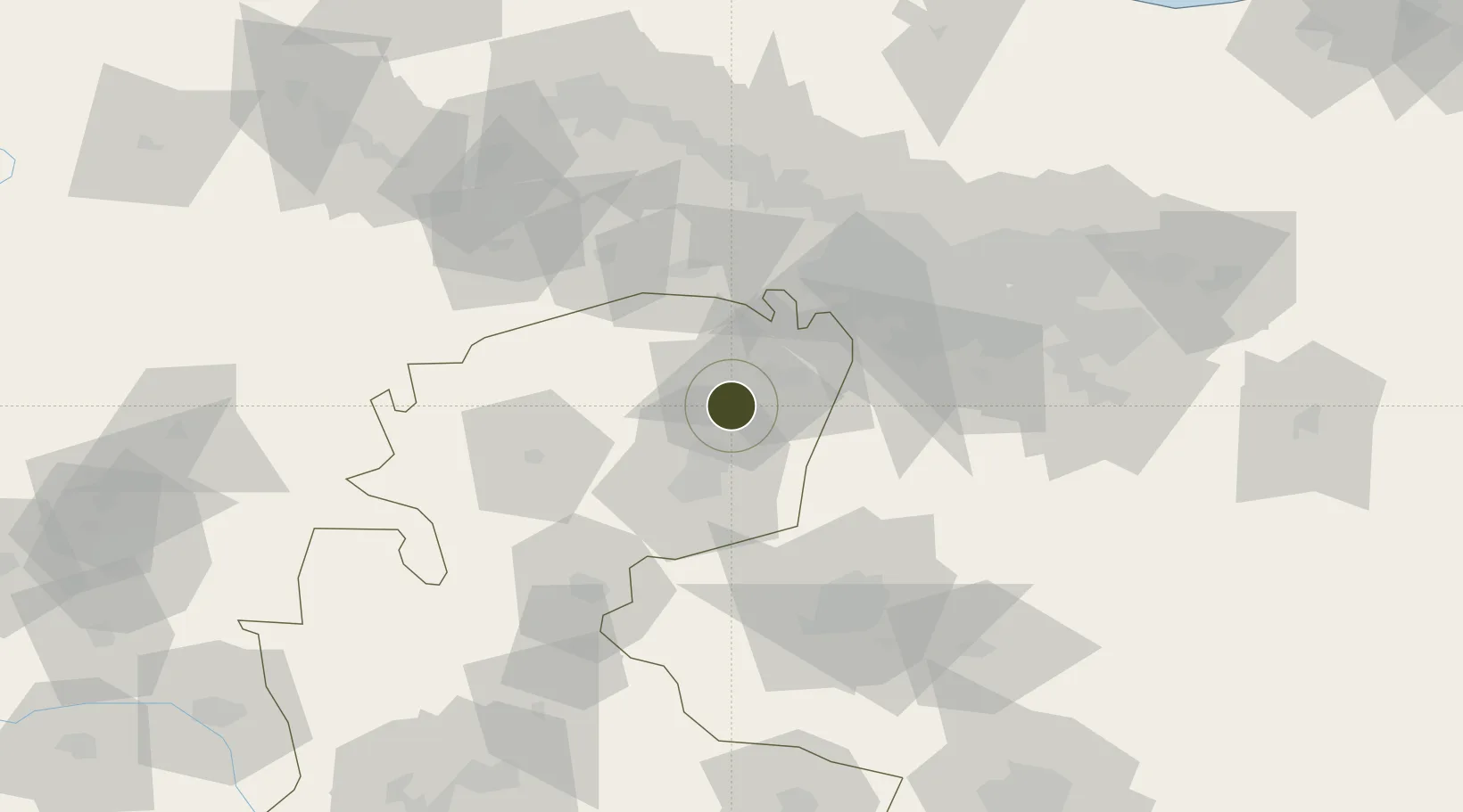
35.3034°, 50.4819°
1,396 ha
Zone area
551.3 km
Nearest port
61.1 km
Nearest airport

Gateway access

Nearest neighbours — logibook spatial index (haversine) over the source coordinates

Zone profile

Zone type
Diversified Zone
Open Zone Map
Region
Markazi
Open Zone Map
Status
Active
Open Zone Map
Management
Private
Open Zone Map
Operator
Iranian Land Travelling Development Company
Open Zone Map
Legal framework
Law of Establishment and Administration of Special Economic Zones of Islamic Republic of Iran
Open Zone Map

Location

Location of ozm-2487
Natural Earth 10m (public domain) · Markazi · ozm-2487 · 35.30, 50.48GoogleOSMYandex

Nearby Logistics Neighbours

Ports
  1. 1Bandar-E Mahshahr551 km
  2. 2Bandar Khomeyni557 km
  3. 3Khorramshahr583 km
  4. 4Al Basrah587 km
  5. 5Abadan590 km
Nearest neighbours — logibook spatial index (haversine) over the source coordinates
Airports
  1. 1Payam International Airport61 km
  2. 2Imam Khomeini International Airport62 km
  3. 3Mehrabad International Airport87 km
  4. 4Qazvin Airport111 km
  5. 5Nojeh Air Base166 km
Nearest neighbours — logibook spatial index (haversine) over the source coordinates
Cities
  1. 1Ali Shah Avaz64 km
  2. 2Malekan95 km
  3. 3Abhar147 km
  4. 4Baneh167 km
  5. 5Amir Abad Pt191 km
Nearest neighbours — logibook spatial index (haversine) over the source coordinates
Trade Zones
  1. 1Kaveh Special Economic Zone24 km
  2. 2Persian Gulf Ship Manufacturing58 km
  3. 3Payam Special Economic Zone60 km
  4. 4City‌ Imam Khomeini ‌Airport62 km
  5. 5Rey Special Economic Zone64 km
Nearest neighbours — logibook spatial index (haversine) over the source coordinates
DatabookThe Record of Consolidated Knowledge
Iran beyond logistics?
Browse databook

All Sources

Trade ZonesOpen Zone Map
CC BY
Portsthe NGA World Port Index
Public domain (US gov)
AirportsOurAirports
Public domain
LocationsUN/LOCODE
UN/LOCODE — free
← Iran trade zones