Transport Functions
Rail
Road
Airport
Postal
Fixed Transport
Hub Profile
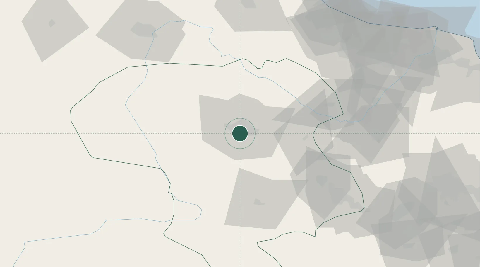
Place type
Regional capital
Region
Zanjan
Population
357,471
Time zone
Asia/Tehran
Elevation
1,666 m
Location
Nearby Logistics Neighbours
Cities
- 1Abhar90 km
- 2Bandar-e Anzali126 km
- 3Astara201 km
- 4Khosrowshahr255 km
- 5Ali Shah Avaz258 km
Ports
- 1Al Basrah686 km
- 2Bandar-E Mahshahr693 km
- 3Khorramshahr694 km
- 4Bandar Khomeyni696 km
- 5Abadan704 km
Airports
- 1Zanjan Airport15 km
- 2Sardar-e-Jangal Airport126 km
- 3Qazvin Airport149 km
- 4Nojeh Air Base163 km
- 5Ardabil Airport185 km
Trade Zones
DatabookThe Record of Consolidated Knowledge
Iran beyond logistics?