Diversified Zone · Iran

Bushehr Special Economic Zone Active
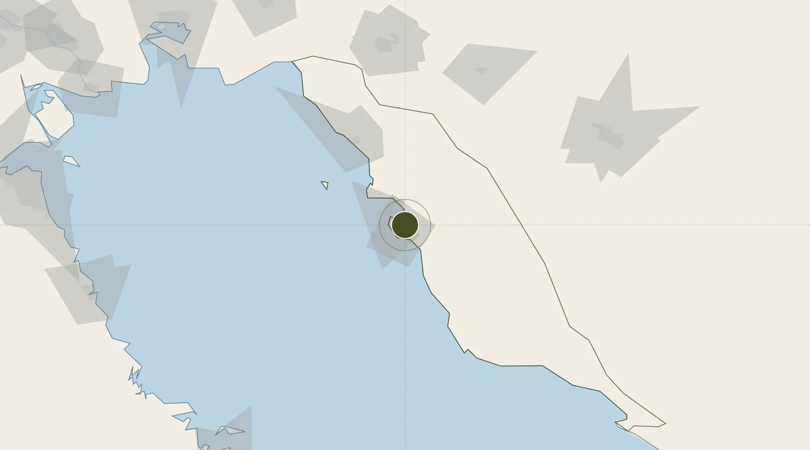
28.9312°, 50.9372°
4,034 ha
Zone area
11.6 km
Nearest port
10.1 km
Nearest airport

Gateway access

Nearest neighbours — logibook spatial index (haversine) over the source coordinates

Zone profile

Zone type
Diversified Zone
Open Zone Map
Region
Bushehr
Open Zone Map
Status
Active
Open Zone Map
Management
Private
Open Zone Map
Operator
Bushehr Development Company
Open Zone Map
Legal framework
Law of Establishment and Administration of Special Economic Zones of Islamic Republic of Iran
Open Zone Map

Location

Location of ozm-2499
Natural Earth 10m (public domain) · Bushehr · ozm-2499 · 28.93, 50.94GoogleOSMYandex

Nearby Logistics Neighbours

Ports
  1. 1Bushehr12 km
  2. 2Kharg Island Oil Terminal68 km
  3. 3Sirus Oil Terminal142 km
  4. 4Al-Basra Oil Terminal222 km
  5. 5Khawr Al Amaya228 km
Nearest neighbours — logibook spatial index (haversine) over the source coordinates
Airports
  1. 1Bushehr Airport10 km
  2. 2Khark Airport70 km
  3. 3Gachsaran Airport156 km
  4. 4Shiraz Shahid Dastghaib International Airport174 km
  5. 5Jam Airport186 km
Nearest neighbours — logibook spatial index (haversine) over the source coordinates
Cities
  1. 1Bushehr11 km
  2. 2Borazjan44 km
  3. 3Soroosh (Cyrus) Terminal144 km
  4. 4Dayyer156 km
  5. 5Ganaveh169 km
Nearest neighbours — logibook spatial index (haversine) over the source coordinates
Trade Zones
  1. 1Bushehr Port0 km
  2. 2Kazarun Kazeroon Special Economic Zone101 km
  3. 3Bushehr Northern Special Economic Zone117 km
  4. 4Shiraz Special Economic Zone172 km
  5. 5Pars Parse Special Economic Energy Zone225 km
Nearest neighbours — logibook spatial index (haversine) over the source coordinates
DatabookThe Record of Consolidated Knowledge
Iran beyond logistics?
Browse databook

All Sources

Trade ZonesOpen Zone Map
CC BY
Portsthe NGA World Port Index
Public domain (US gov)
AirportsOurAirports
Public domain
LocationsUN/LOCODE
UN/LOCODE — free
← Iran trade zones