Channel & Berth Profile
Pilotage, Tugs & Services
Pilotage compulsoryYES
Pilotage availableYES
Tug assistanceYES
Salvage tugsYES
Potable waterYES
Diesel bunkersNO
Garbage disposalYES
Facilities & Capabilities
Container—
Ro-Ro—
Liquid bulk—
Dry bulk—
Oil terminal—
Break bulk—
Dry dock—
Repairs—
BunkeringNO
Rail link—
Dangerous cargo—
ISPS security—
Harbour Specifications
Harbour size
Very Small
Harbour type
Open Roadstead
Shelter
Poor
Water body
Persian Gulf; Indian Ocean
Tidal range
1 m
Pilotage
Yes
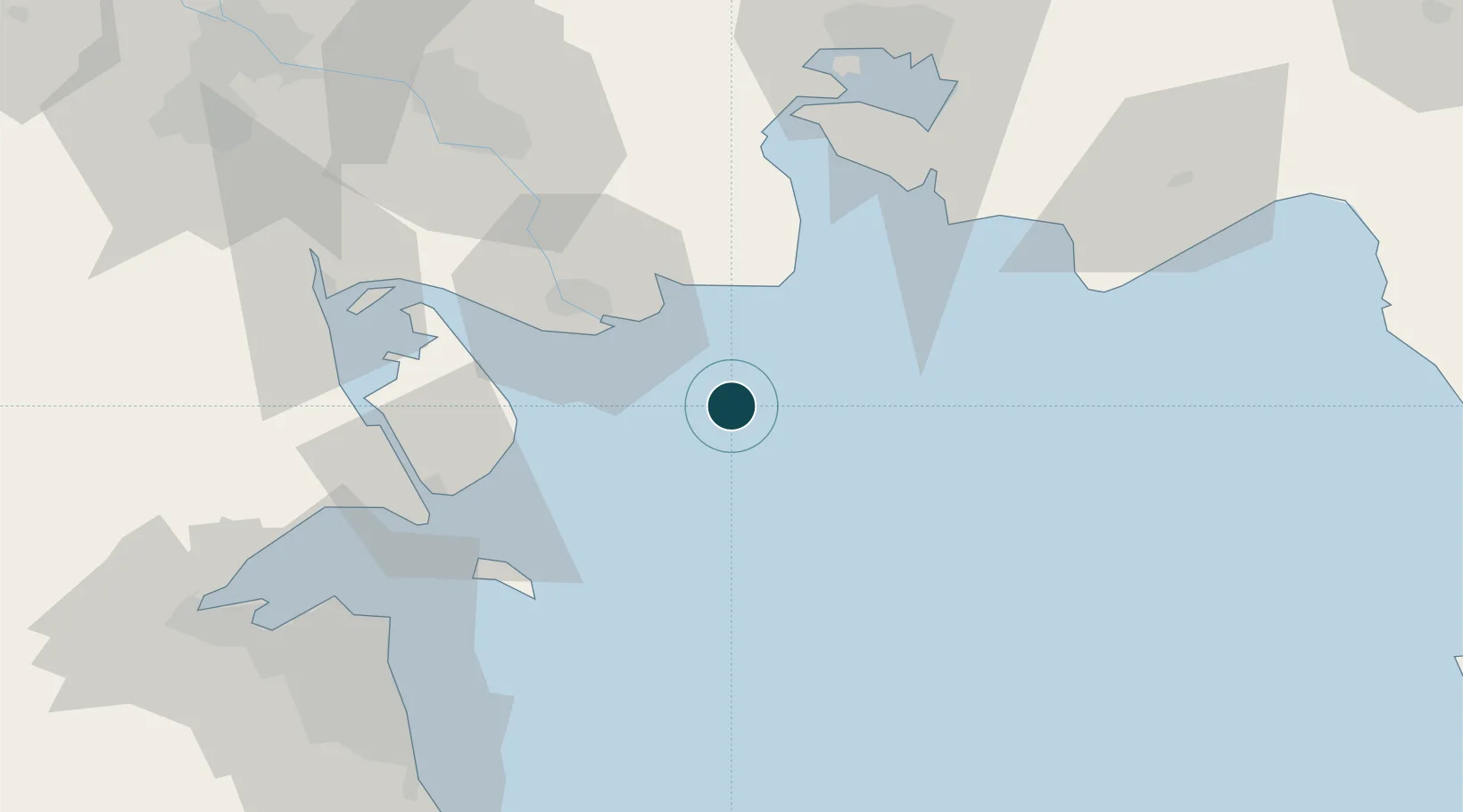
Location
Nearby Logistics Neighbours
Ports
- 1Al-Basra Oil Terminal11 km
- 2Bandar Khomeyni77 km
- 3Abadan79 km
- 4Bandar-E Mahshahr85 km
- 5Umm Qasr86 km
Cities
- 1Basrah Oil Terminal5 km
- 2Imam Khomeini Pt/ Mahshahr City75 km
- 3Bandar-e Emam Khomeyni78 km
- 4Bandar Khomeini78 km
- 5Ra's al Ard84 km
Airports
- 1Abadan Ayatollah Jami International Airport85 km
- 2Mahshahr Airport92 km
- 3Kuwait International Airport102 km
- 4Ali Al Salem Air Base134 km
- 5Ahmed Al Jaber Air Base136 km
Trade Zones
DatabookThe Record of Consolidated Knowledge
Iraq beyond logistics?