Medium airport · Iran
Khark AirportOIBQ
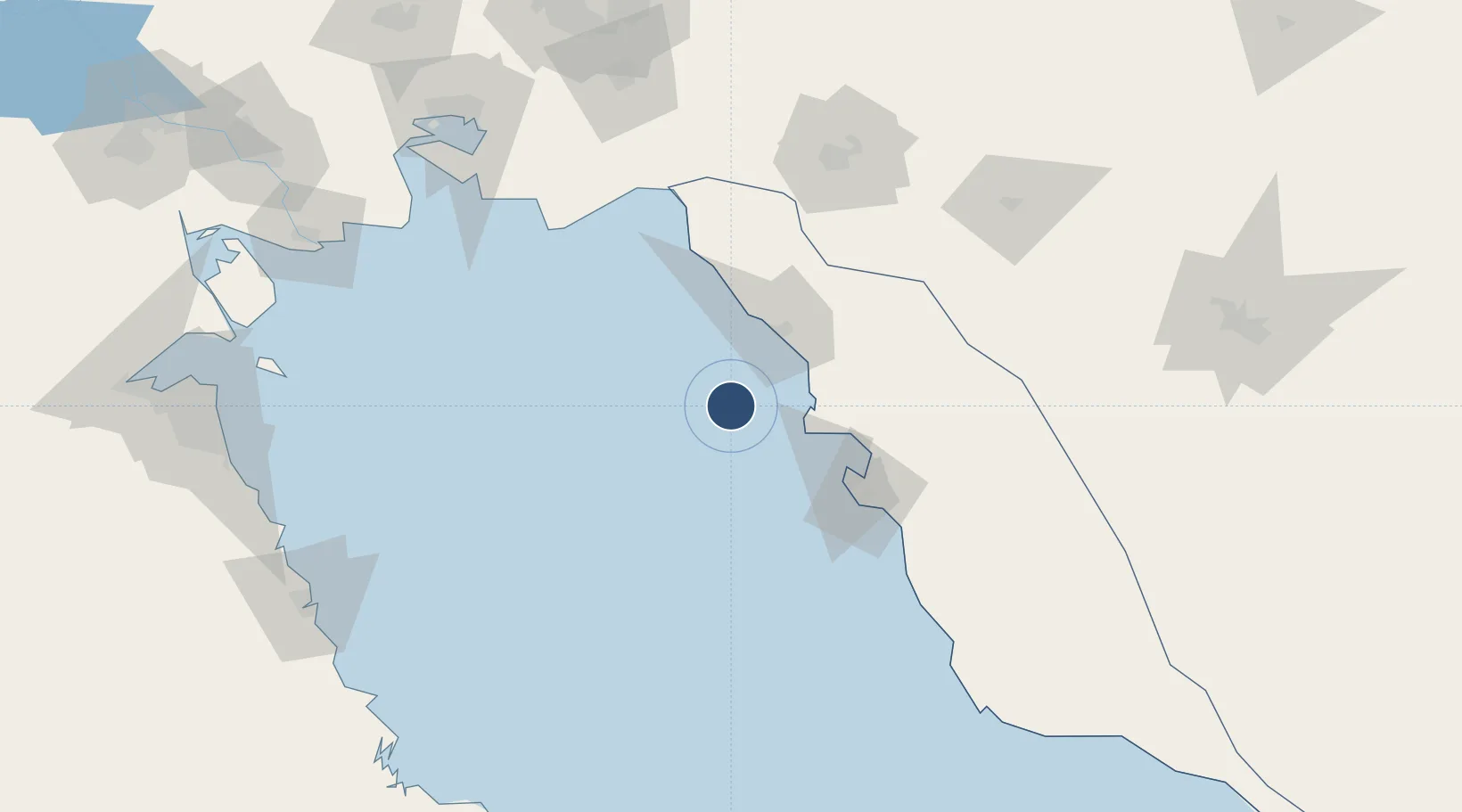
29.2605°, 50.3222°
5,922 ft
Longest runway
1
Runways
17 ft
Elevation
Runway & Layout

Radio Frequencies
AFIS
122.1 MHz
INFO
Navaids
KHG VOR-DME Khark Island 113.40 MHz
KHG NDB Khark Island 325 kHz
Runways · 1
| Runway | Dimensions | Surface | True heading | Lit |
|---|---|---|---|---|
| 14/32 | 5,922 × 148ft | Asphalt | 134° | — |
Airport Specifications
IATA code
KHK
ICAO code
OIBQ
Airport class
Medium airport
Scheduled service
Yes
Runway surface
Asphalt
Served city
Khark
Location
Nearby Logistics Neighbours
Airports
- 1Bushehr Airport61 km
- 2Gachsaran Airport129 km
- 3Aghajari Airport176 km
- 4Mahshahr Airport183 km
- 5Yasuj Airport199 km
Cities
- 1Bushehr59 km
- 2Borazjan85 km
- 3Soroosh (Cyrus) Terminal87 km
- 4Ganaveh141 km
- 5Basrah Oil Terminal154 km
Ports
- 1Kharg Island Oil Terminal3 km
- 2Bushehr58 km
- 3Sirus Oil Terminal86 km
- 4Al-Basra Oil Terminal153 km
- 5Khawr Al Amaya158 km
Trade Zones
DatabookThe Record of Consolidated Knowledge
Iran beyond logistics?