Diversified Zone · Iran
Bushehr Northern Special Economic Zone Active
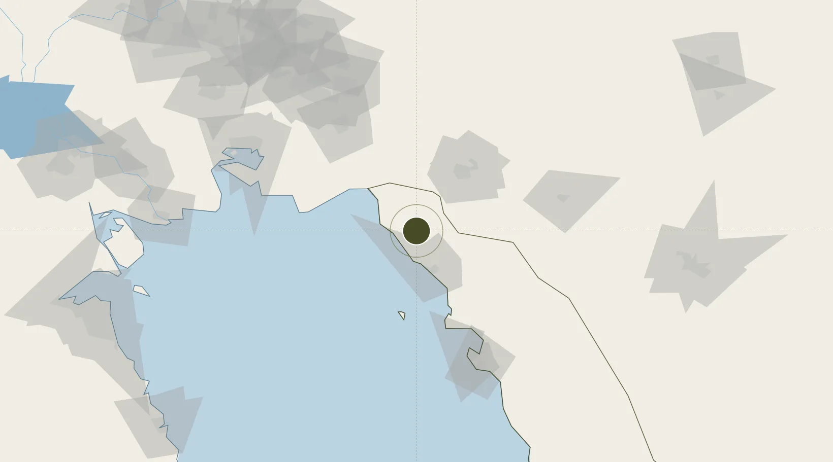
29.8848°, 50.4219°
2,844 ha
Zone area
72.9 km
Nearest port
63.7 km
Nearest airport
Gateway access
Zone profile
Zone type
Diversified Zone
Region
Bushehr
Status
Active
Management
Public
Operator
Industrial Parks Company of Bushehr Province
Legal framework
Law on the Administration of Free Trade-Industrial Zones of the Islamic Republic of Iran
Location
Nearby Logistics Neighbours
Ports
- 1Kharg Island Oil Terminal73 km
- 2Bushehr108 km
- 3Sirus Oil Terminal133 km
- 4Bandar-E Mahshahr136 km
- 5Bandar Khomeyni142 km
Airports
- 1Gachsaran Airport64 km
- 2Khark Airport70 km
- 3Bushehr Airport112 km
- 4Aghajari Airport119 km
- 5Yasuj Airport141 km
Cities
- 1Ganaveh74 km
- 2Borazjan103 km
- 3Bushehr110 km
- 4Soroosh (Cyrus) Terminal132 km
- 5Bandar Mashur140 km
Trade Zones
- 1Bushehr Port117 km
- 2Bushehr Special Economic Zone117 km
- 3Kazarun Kazeroon Special Economic Zone119 km
- 4Petrochemical Special Economic Zone144 km
- 5Imam Khomeini Port145 km
DatabookThe Record of Consolidated Knowledge
Iran beyond logistics?