Transport Functions
Port
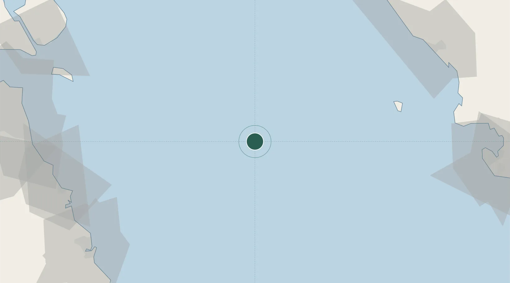
Location
Nearby Logistics Neighbours
Cities
- 1Basrah Oil Terminal101 km
- 2Mina Saud102 km
- 3Mina Al Zour110 km
- 4Mina' 'Abd Allah126 km
- 5Mina' al Ahmadi128 km
Ports
- 1Kharg Island Oil Terminal87 km
- 2Al-Basra Oil Terminal96 km
- 3Khawr Al Amaya106 km
- 4Ras Al Khafji109 km
- 5Mina Az Zawr109 km
Airports
- 1Khark Airport87 km
- 2Bushehr Airport133 km
- 3Ras Mishab Airport135 km
- 4Ras Tanajib Airport146 km
- 5Kuwait International Airport147 km
Trade Zones
- 1Bushehr Northern Special Economic Zone132 km
- 2Bushehr Port144 km
- 3Bushehr Special Economic Zone144 km
- 4Al Wafra Free Economic Zone147 km
- 5Kuwait Free Trade Zone156 km
DatabookThe Record of Consolidated Knowledge
Iran beyond logistics?