Medium airport · Iran
Jam AirportOIBJ
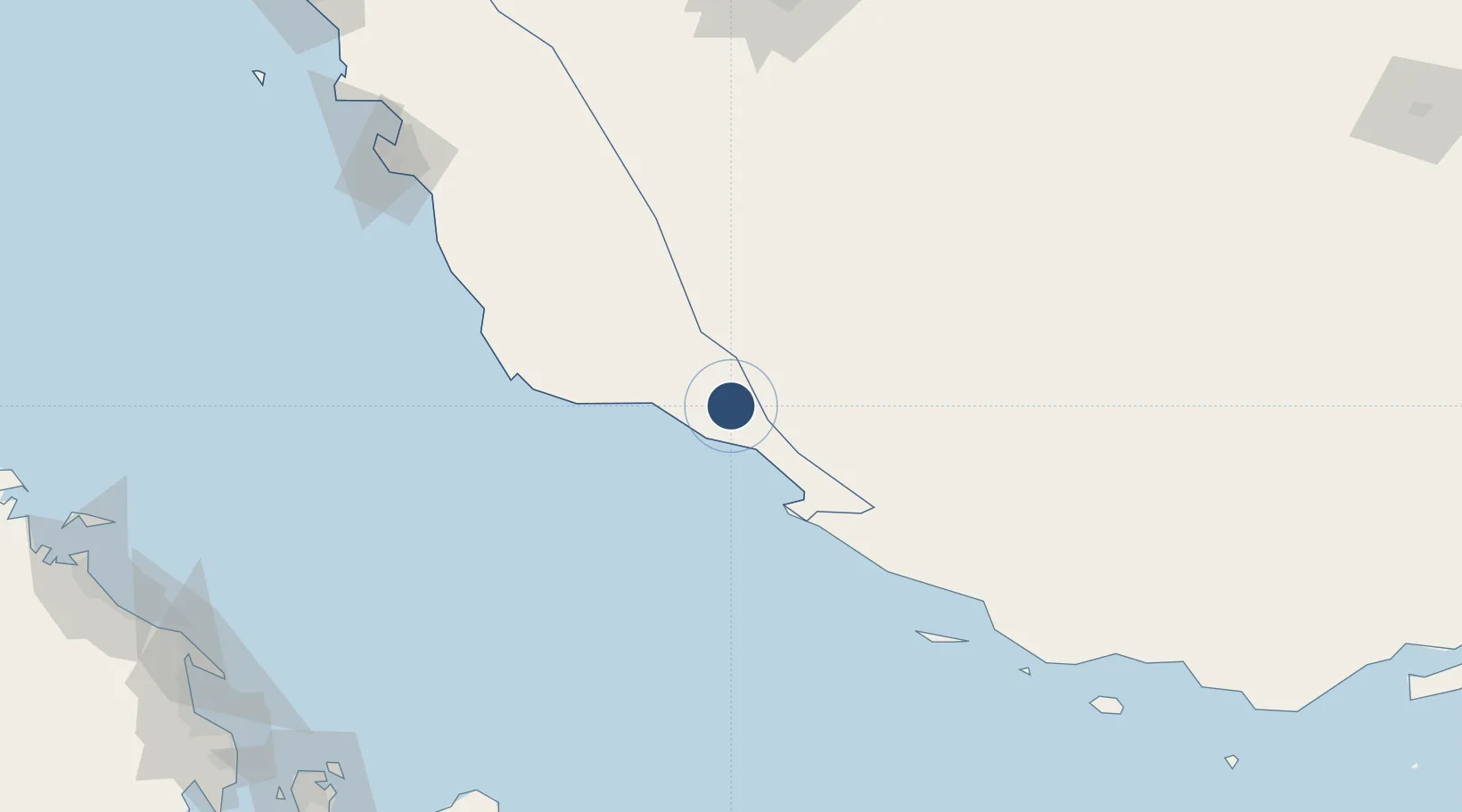
27.8205°, 52.3522°
7,711 ft
Longest runway
1
Runways
2,173 ft
Elevation
Runway & Layout

Radio Frequencies
AFIS
121.65 MHz
INFO
Navaids
JAM VOR-DME Jam 116.80 MHz
JAM NDB Jam 385 kHz
Runways · 1
| Runway | Dimensions | Surface | True heading | Lit |
|---|---|---|---|---|
| 11/29 | 7,711 × 148ft | Asphalt | 115° | ✓ |
Airport Specifications
IATA code
KNR
ICAO code
OIBJ
Airport class
Medium airport
Scheduled service
No
Runway surface
Asphalt
Served city
Jam
Location
Nearby Logistics Neighbours
Airports
- 1Persian Gulf International Airport62 km
- 2Lamerd Airport96 km
- 3Lavan Airport150 km
- 4Fasa Airport179 km
- 5Shiraz Shahid Dastghaib International Airport193 km
Cities
- 1Tombak22 km
- 2Sarooj Anchorage22 km
- 3Dayyer41 km
- 4Asaluyeh46 km
- 5Bandare Parsian91 km
Ports
- 1Al Shaheen Terminal142 km
- 2Jazireh-Ye Lavan Oil Terminal151 km
- 3Al Rayyan Terminal152 km
- 4Bushehr197 km
- 5Ras Laffan225 km
DatabookThe Record of Consolidated Knowledge
Iran beyond logistics?