Transport Functions
Port
Road
Airport
Hub Profile
Place type
Regional capital
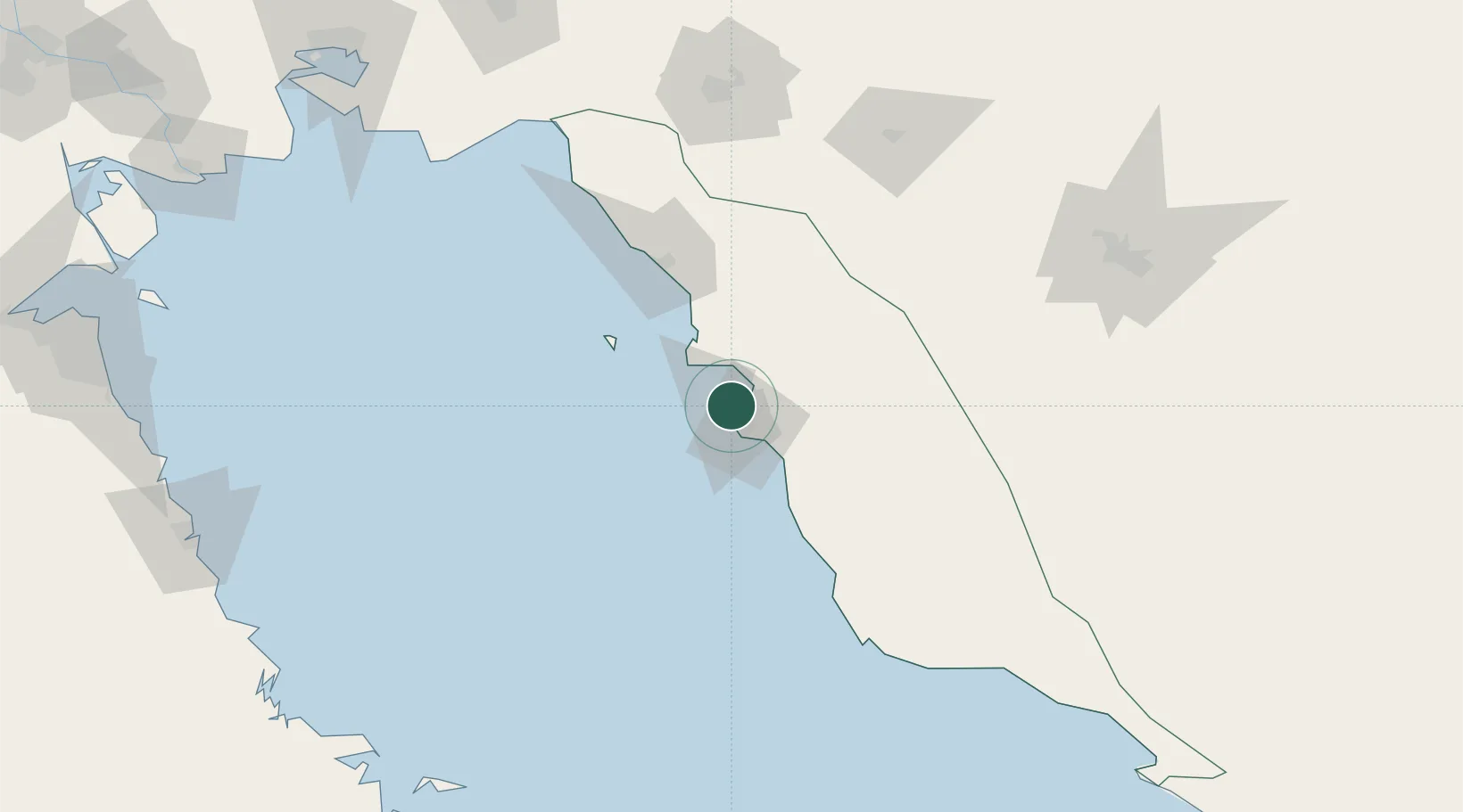
Region
Bushehr
Population
165,377
Time zone
Asia/Tehran
Elevation
8 m
Logistics facilities
1
Location
Nearby Logistics Neighbours
Cities
- 1Borazjan48 km
- 2Soroosh (Cyrus) Terminal133 km
- 3Ganaveh165 km
- 4Dayyer166 km
- 5Sarooj Anchorage188 km
Ports
- 1Kharg Island Oil Terminal57 km
- 2Sirus Oil Terminal131 km
- 3Al-Basra Oil Terminal211 km
- 4Khawr Al Amaya217 km
- 5Ras Al Khafji227 km
Airports
- 1Bushehr Airport2 km
- 2Khark Airport59 km
- 3Gachsaran Airport152 km
- 4Shiraz Shahid Dastghaib International Airport182 km
- 5Jam Airport196 km
Trade Zones
DatabookThe Record of Consolidated Knowledge
Iran beyond logistics?