Transport Functions
Port
Hub Profile
Region
18
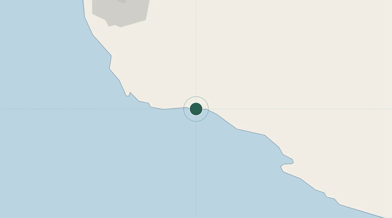
Location
Nearby Logistics Neighbours
Cities
- 1Sarooj Anchorage24 km
- 2Tombak26 km
- 3Asaluyeh77 km
- 4Bandare Parsian121 km
- 5Al Shaheen143 km
Ports
- 1Al Rayyan Terminal137 km
- 2Al Shaheen Terminal139 km
- 3Bushehr167 km
- 4Jazireh-Ye Lavan Oil Terminal181 km
- 5Khalifa Bin Salman212 km
Airports
- 1Jam Airport41 km
- 2Persian Gulf International Airport94 km
- 3Lamerd Airport134 km
- 4Bushehr Airport164 km
- 5Lavan Airport181 km
Trade Zones
DatabookThe Record of Consolidated Knowledge
Iran beyond logistics?