Medium airport · Iran

Gachsaran AirportOIAH
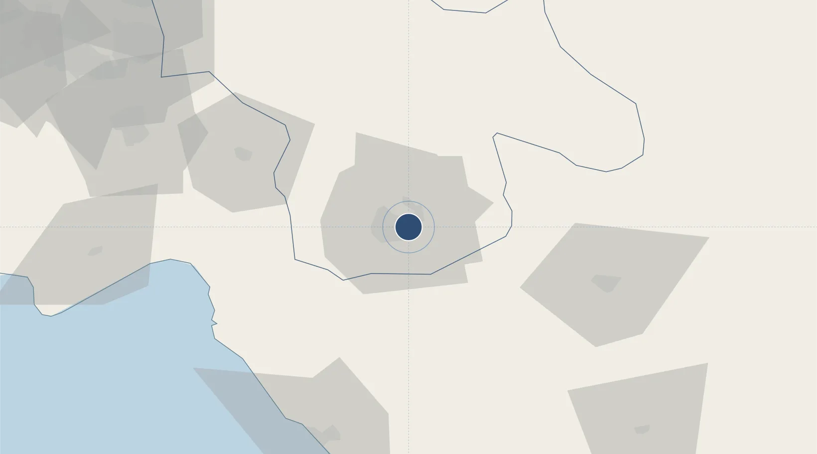
30.3339°, 50.8338°
6,070 ft
Longest runway
1
Runways
2,414 ft
Elevation

Runway & Layout

Gachsaran Airport runway & taxiway layout
Runway & taxiway layout — OpenStreetMap (ODbL) / OurAirports

Radio Frequencies

AFIS
122.1 MHz
INFO
OurAirports

Navaids

GSN NDB Gachsaran 245 kHz
OurAirports

Runways · 1

RunwayDimensions SurfaceTrue headingLit
12/30 6,070 × 148ft Asphalt 125°
OurAirports

Airport Specifications

IATA code
GCH
OurAirports
ICAO code
OIAH
OurAirports
Airport class
Medium airport
OurAirports
Scheduled service
Yes
OurAirports
Runway surface
Asphalt
OurAirports
Served city
Gachsaran
OurAirports

Location

Location of OIAH
Natural Earth 10m (public domain) · Kohgiluyeh and Buyer Ahmad · OIAH · 30.33, 50.83GoogleOSMYandex

Nearby Logistics Neighbours

Airports
  1. 1Yasuj Airport79 km
  2. 2Aghajari Airport120 km
  3. 3Khark Airport129 km
  4. 4Bushehr Airport155 km
  5. 5Mahshahr Airport163 km
Nearest neighbours — logibook spatial index (haversine) over the source coordinates
Cities
  1. 1Ganaveh13 km
  2. 2Borazjan126 km
  3. 3Bushehr152 km
  4. 4Bandar Mashur160 km
  5. 5Bandar-e Måh Shahr161 km
Nearest neighbours — logibook spatial index (haversine) over the source coordinates
Ports
  1. 1Kharg Island Oil Terminal132 km
  2. 2Bushehr150 km
  3. 3Bandar-E Mahshahr159 km
  4. 4Bandar Khomeyni168 km
  5. 5Sirus Oil Terminal196 km
Nearest neighbours — logibook spatial index (haversine) over the source coordinates
Trade Zones
  1. 1Bushehr Northern Special Economic Zone64 km
  2. 2Kazarun Kazeroon Special Economic Zone109 km
  3. 3Bushehr Port156 km
  4. 4Bushehr Special Economic Zone156 km
  5. 5Petrochemical Special Economic Zone168 km
Nearest neighbours — logibook spatial index (haversine) over the source coordinates
DatabookThe Record of Consolidated Knowledge
Iran beyond logistics?
Browse databook

All Sources

AirportsOurAirports
Public domain
Portsthe NGA World Port Index
Public domain (US gov)
LocationsUN/LOCODE
UN/LOCODE — free
Trade Zonesthe World Bank SEZ database
CC BY 4.0
Trade ZonesOpen Zone Map
CC BY
InfrastructureOpenStreetMap
ODbL 1.0
← Iran airports