Transport Functions
Multimodal
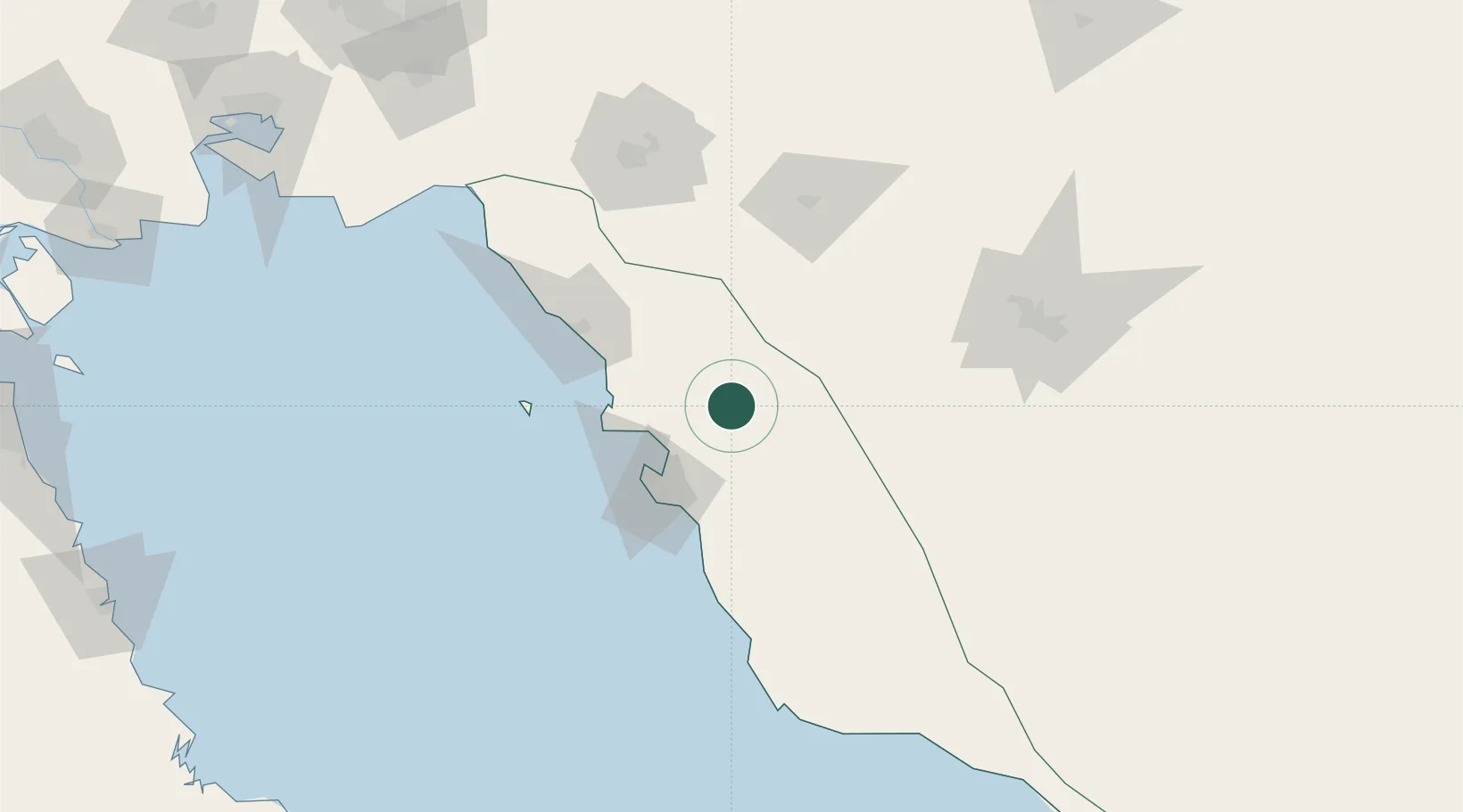
Hub Profile
Place type
Provincial seat
Region
Bushehr
Population
86,059
Time zone
Asia/Tehran
Elevation
70 m
Location
Nearby Logistics Neighbours
Cities
- 1Bushehr48 km
- 2Ganaveh138 km
- 3Abadeh156 km
- 4Soroosh (Cyrus) Terminal170 km
- 5Dayyer173 km
Ports
- 1Bushehr46 km
- 2Kharg Island Oil Terminal84 km
- 3Sirus Oil Terminal169 km
- 4Al-Basra Oil Terminal236 km
- 5Bandar-E Mahshahr237 km
Airports
- 1Bushehr Airport49 km
- 2Khark Airport85 km
- 3Gachsaran Airport126 km
- 4Shiraz Shahid Dastghaib International Airport138 km
- 5Yasuj Airport165 km
Trade Zones
DatabookThe Record of Consolidated Knowledge
Iran beyond logistics?