Channel & Berth Profile
Pilotage, Tugs & Services
Pilotage compulsoryYES
Pilotage availableYES
Tug assistanceYES
Shore powerNO
Potable waterNO
Diesel bunkersNO
Facilities & Capabilities
Container—
Ro-Ro—
Liquid bulk—
Dry bulk—
Oil terminal—
Break bulk—
Dry dock—
Repairs—
BunkeringNO
Rail link—
Dangerous cargo—
ISPS security—
Harbour Specifications
Harbour size
Small
Harbour type
Open Roadstead
Shelter
Fair
Water body
Persian Gulf; Indian Ocean
Tidal range
2 m
Pilotage
Yes
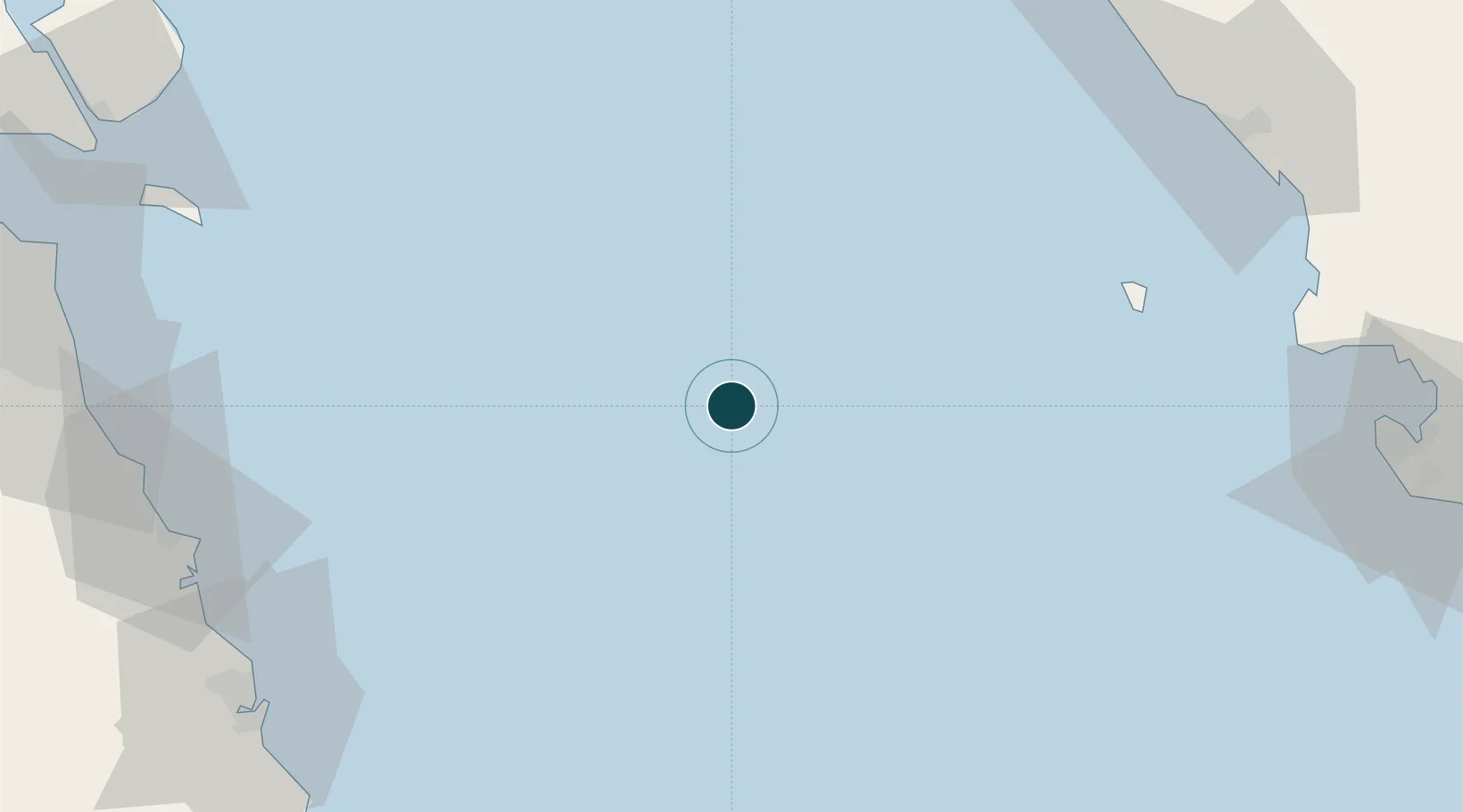
Location
Nearby Logistics Neighbours
Ports
- 1Kharg Island Oil Terminal86 km
- 2Al-Basra Oil Terminal98 km
- 3Khawr Al Amaya108 km
- 4Ras Al Khafji109 km
- 5Mina Az Zawr110 km
Cities
- 1Mina Saud103 km
- 2Basrah Oil Terminal103 km
- 3Mina Al Zour111 km
- 4Mina' 'Abd Allah128 km
- 5Mina' al Ahmadi130 km
Airports
- 1Khark Airport86 km
- 2Bushehr Airport132 km
- 3Ras Mishab Airport135 km
- 4Ras Tanajib Airport146 km
- 5Kuwait International Airport149 km
Trade Zones
- 1Bushehr Northern Special Economic Zone133 km
- 2Bushehr Port142 km
- 3Bushehr Special Economic Zone142 km
- 4Al Wafra Free Economic Zone148 km
- 5Kuwait Free Trade Zone158 km
DatabookThe Record of Consolidated Knowledge
Iran beyond logistics?