Diversified Zone · Iran
Kazarun Kazeroon Special Economic Zone Under Development
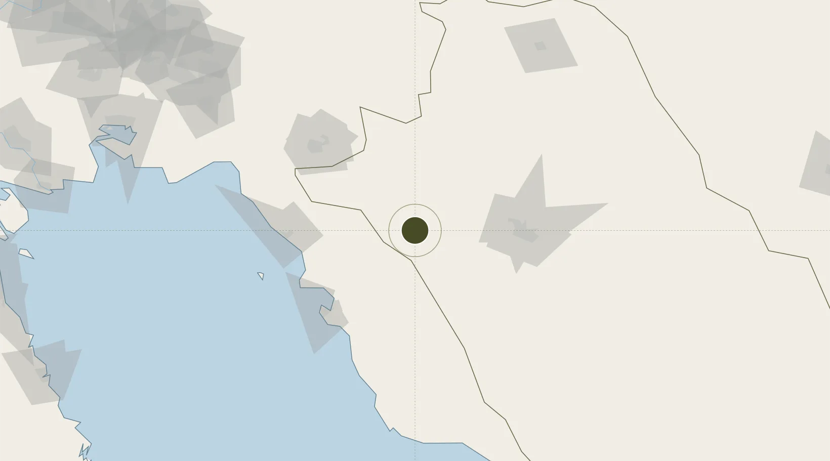
29.6259°, 51.6121°
300 ha
Zone area
104.0 km
Nearest port
95.0 km
Nearest airport
Gateway access
Zone profile
Zone type
Diversified Zone
Region
Fars
Status
Under Development
Management
Public
Operator
Industrial Parks Company of Fars Province
Legal framework
Law of Establishment and Administration of Special Economic Zones of Islamic Republic of Iran
Location
Nearby Logistics Neighbours
Ports
- 1Bushehr104 km
- 2Kharg Island Oil Terminal131 km
- 3Sirus Oil Terminal217 km
- 4Bandar-E Mahshahr252 km
- 5Bandar Khomeyni260 km
Airports
- 1Shiraz Shahid Dastghaib International Airport95 km
- 2Bushehr Airport107 km
- 3Gachsaran Airport109 km
- 4Yasuj Airport120 km
- 5Khark Airport131 km
Trade Zones
- 1Shiraz Special Economic Zone98 km
- 2Bushehr Port101 km
- 3Bushehr Special Economic Zone101 km
- 4Bushehr Northern Special Economic Zone119 km
- 5Jahrom Special Economic Zone203 km
DatabookThe Record of Consolidated Knowledge
Iran beyond logistics?