Specialized Zone · Iran

Pars Parse Special Economic Energy Zone Active
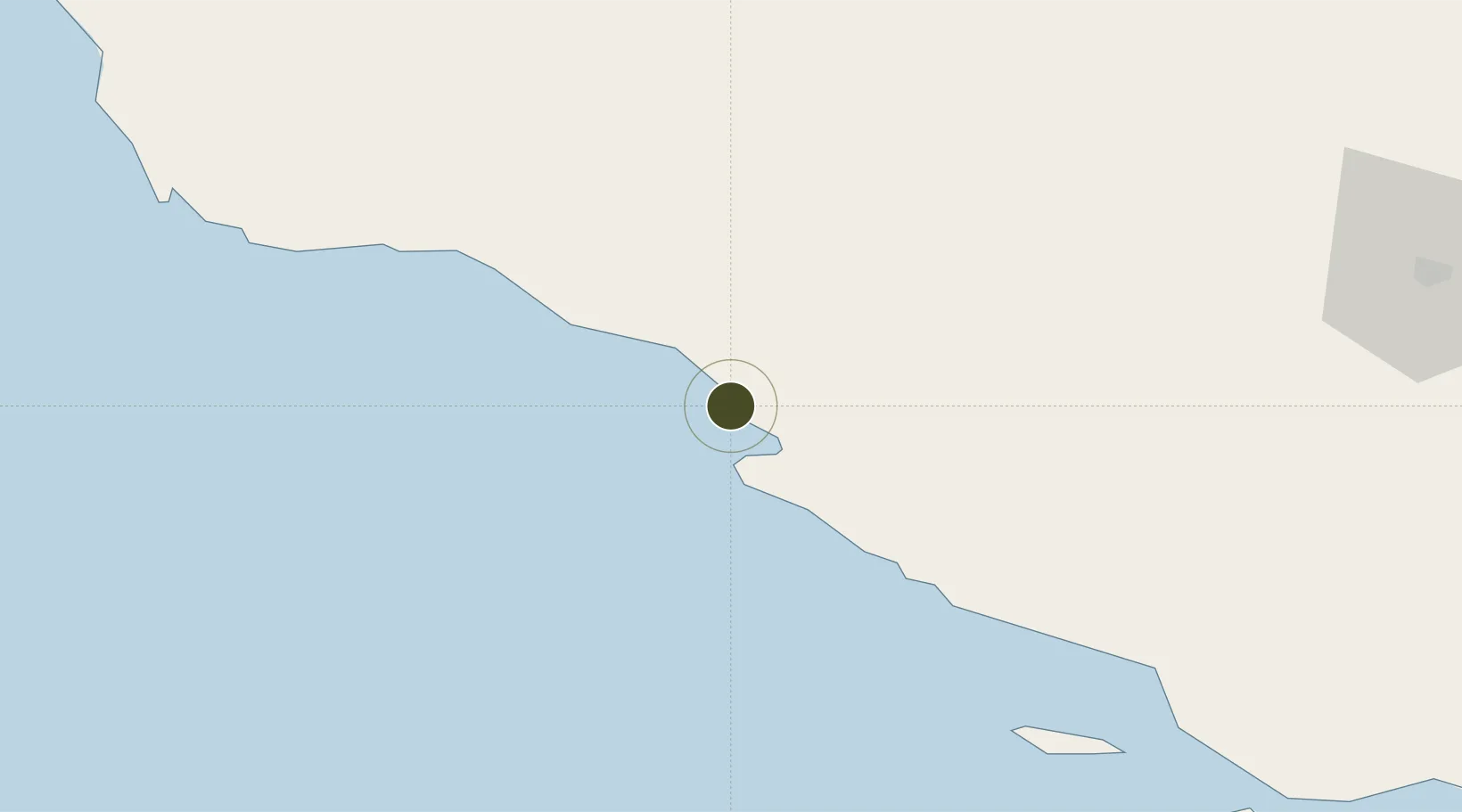
27.5139°, 52.5737°
46,000 ha
Zone area
110.7 km
Nearest port
22.0 km
Nearest airport

Gateway access

Nearest neighbours — logibook spatial index (haversine) over the source coordinates

Zone profile

Zone type
Specialized Zone
Open Zone Map
Specialization
Energy
Open Zone Map
Region
Bushehr
Open Zone Map
Status
Active
Open Zone Map
Management
Public
Open Zone Map
Operator
Pars Special Economic Zone Organization
Open Zone Map
Legal framework
Approval letter no. 12/11975/1 passed on 2005-06-12
Open Zone Map

Location

Location of ozm-2522
Natural Earth 10m (public domain) · Bushehr · ozm-2522 · 27.51, 52.57GoogleOSMYandex

Nearby Logistics Neighbours

Ports
  1. 1Jazireh-Ye Lavan Oil Terminal111 km
  2. 2Al Shaheen Terminal118 km
  3. 3Al Rayyan Terminal140 km
  4. 4Ras Laffan203 km
  5. 5Jazirat Halul204 km
Nearest neighbours — logibook spatial index (haversine) over the source coordinates
Airports
  1. 1Persian Gulf International Airport22 km
  2. 2Jam Airport41 km
  3. 3Lamerd Airport63 km
  4. 4Lavan Airport110 km
  5. 5Kish International Airport178 km
Nearest neighbours — logibook spatial index (haversine) over the source coordinates
Cities
  1. 1Asaluyeh6 km
  2. 2Tombak46 km
  3. 3Sarooj Anchorage48 km
  4. 4Bandare Parsian50 km
  5. 5Dayyer72 km
Nearest neighbours — logibook spatial index (haversine) over the source coordinates
Trade Zones
  1. 1Parsian Pārsiān Special Economic Zone57 km
  2. 2Lamerd Lamord Special Economic Zone for Energy Industries60 km
  3. 3Lavan Special Economic Zone99 km
  4. 4Jahrom Special Economic Zone161 km
  5. 5Kish Trade Industrial Free Zone178 km
Nearest neighbours — logibook spatial index (haversine) over the source coordinates
DatabookThe Record of Consolidated Knowledge
Iran beyond logistics?
Browse databook

All Sources

Trade ZonesOpen Zone Map
CC BY
Portsthe NGA World Port Index
Public domain (US gov)
AirportsOurAirports
Public domain
LocationsUN/LOCODE
UN/LOCODE — free
← Iran trade zones