Medium airport · Iran
Bushehr AirportOIBB
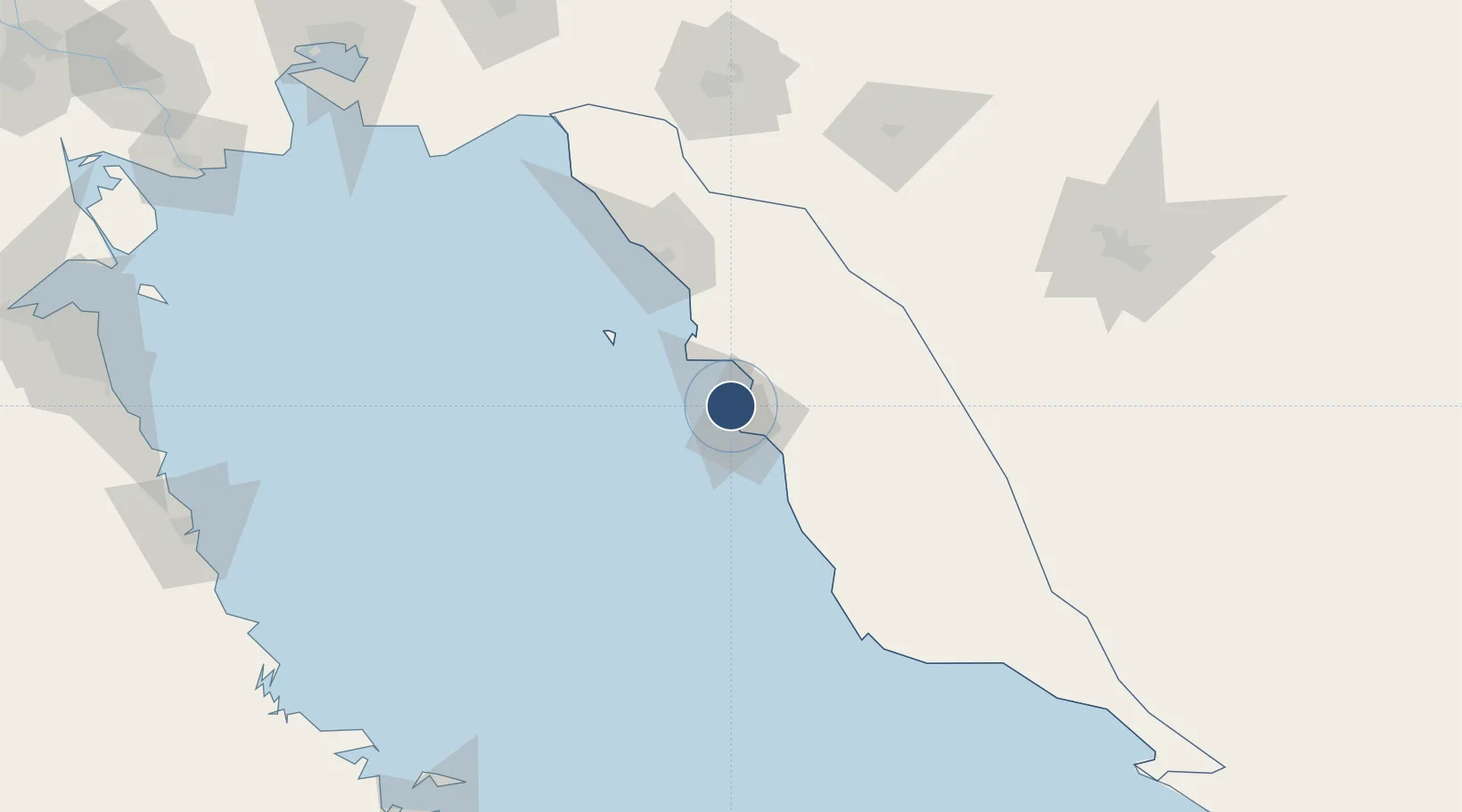
28.9448°, 50.8346°
14,664 ft
Longest runway
2
Runways
68 ft
Elevation
Runway & Layout

Radio Frequencies
ATIS
126.2 MHz
TWR
119.7 MHz
APP
38.54 MHz
APP
131.4 MHz
Navaids
BUZ TACAN Bushehr 112.20 MHz
BUZ VOR-DME Bushehr 117.45 MHz
BUZ NDB Bushehr 341 kHz
Runways · 2
| Runway | Dimensions | Surface | True heading | Lit |
|---|---|---|---|---|
| 13R/31L | 14,664 × 148ft | Asphalt | 132° | ✓ |
| 13L/31R | 14,663 × 148ft | Asphalt | 132° | ✓ |
Airport Specifications
IATA code
BUZ
ICAO code
OIBB
Airport class
Medium airport
Scheduled service
Yes
Runway surface
Asphalt
Served city
Bushehr
Location
Nearby Logistics Neighbours
Airports
- 1Khark Airport61 km
- 2Gachsaran Airport155 km
- 3Shiraz Shahid Dastghaib International Airport183 km
- 4Jam Airport194 km
- 5Yasuj Airport207 km
Cities
- 1Bushehr2 km
- 2Borazjan49 km
- 3Soroosh (Cyrus) Terminal133 km
- 4Dayyer164 km
- 5Ganaveh167 km
Ports
- 1Bushehr4 km
- 2Kharg Island Oil Terminal58 km
- 3Sirus Oil Terminal132 km
- 4Al-Basra Oil Terminal212 km
- 5Khawr Al Amaya218 km
Trade Zones
DatabookThe Record of Consolidated Knowledge
Iran beyond logistics?