Diversified Zone · Iran
Shiraz Special Economic Zone Active
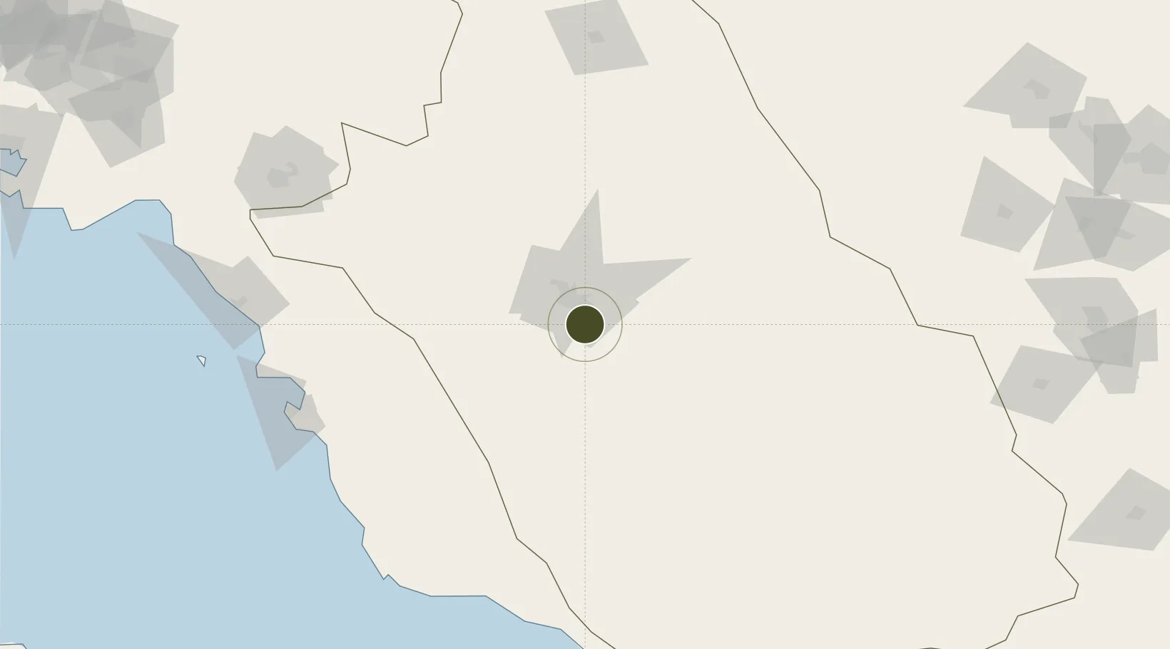
29.4598°, 52.6055°
30 ha
Zone area
179.9 km
Nearest port
9.0 km
Nearest airport
Gateway access
Zone profile
Zone type
Diversified Zone
Region
Fars
Status
Active
Management
Private
Operator
Fars Industrial and Export Development Company
Legal framework
Law of Establishment and Administration of Special Economic Zones of Islamic Republic of Iran
Location
Nearby Logistics Neighbours
Ports
- 1Bushehr180 km
- 2Kharg Island Oil Terminal222 km
- 3Jazireh-Ye Lavan Oil Terminal306 km
- 4Sirus Oil Terminal307 km
- 5Al Shaheen Terminal325 km
Airports
- 1Shiraz Shahid Dastghaib International Airport9 km
- 2Fasa Airport126 km
- 3Yasuj Airport172 km
- 4Bushehr Airport181 km
- 5Jam Airport184 km
Trade Zones
- 1Kazarun Kazeroon Special Economic Zone98 km
- 2Jahrom Special Economic Zone114 km
- 3Neyriz Special Economic Zone166 km
- 4Bushehr Port172 km
- 5Bushehr Special Economic Zone172 km
DatabookThe Record of Consolidated Knowledge
Iran beyond logistics?