Large airport · Iran

Shiraz Shahid Dastghaib International AirportOISS
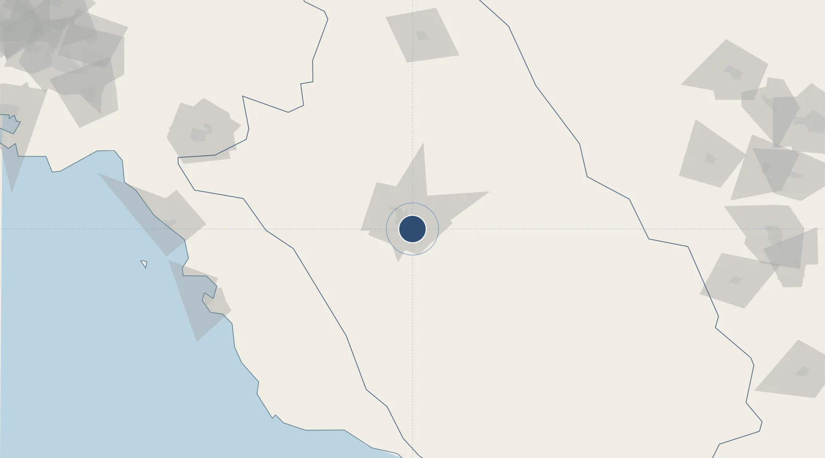
29.5392°, 52.5898°
14,345 ft
Longest runway
2
Runways
4,927 ft
Elevation

Runway & Layout

Shiraz Shahid Dastghaib International Airport runway & taxiway layout
Runway & taxiway layout — OpenStreetMap (ODbL) / OurAirports

Radio Frequencies

ATIS
127 MHz
TWR
118.1 MHz
APP
34.4 MHz
APP
119 MHz
OurAirports

Navaids

SR NDB Shiraz Shahid Dastghaib 205 kHz
SYZ TACAN Shiraz Shahid Dastghaib 114.70 MHz
SYZ VOR-DME Shiraz Shahid Dastghaib 117.80 MHz
OurAirports

Runways · 2

RunwayDimensions SurfaceTrue headingLit
11L/29R 14,345 × 148ft Asphalt 114°
11R/29L 14,051 × 148ft Asphalt 114°
OurAirports

Airport Specifications

IATA code
SYZ
OurAirports
ICAO code
OISS
OurAirports
Airport class
Large airport
OurAirports
Scheduled service
Yes
OurAirports
Runway surface
Asphalt
OurAirports
Served city
Shiraz
OurAirports

Location

Location of OISS
Natural Earth 10m (public domain) · Fars · OISS · 29.54, 52.59GoogleOSMYandex

Nearby Logistics Neighbours

Airports
  1. 1Fasa Airport132 km
  2. 2Yasuj Airport164 km
  3. 3Bushehr Airport183 km
  4. 4Gachsaran Airport191 km
  5. 5Jam Airport193 km
Nearest neighbours — logibook spatial index (haversine) over the source coordinates
Cities
  1. 1Abadeh55 km
  2. 2Dehbid133 km
  3. 3Borazjan138 km
  4. 4Bushehr182 km
  5. 5Ganaveh197 km
Nearest neighbours — logibook spatial index (haversine) over the source coordinates
Ports
  1. 1Bushehr181 km
  2. 2Kharg Island Oil Terminal221 km
  3. 3Sirus Oil Terminal307 km
  4. 4Jazireh-Ye Lavan Oil Terminal315 km
  5. 5Al Shaheen Terminal334 km
Nearest neighbours — logibook spatial index (haversine) over the source coordinates
Trade Zones
  1. 1Shiraz Special Economic Zone9 km
  2. 2Kazarun Kazeroon Special Economic Zone95 km
  3. 3Jahrom Special Economic Zone121 km
  4. 4Neyriz Special Economic Zone169 km
  5. 5Bushehr Port174 km
Nearest neighbours — logibook spatial index (haversine) over the source coordinates
DatabookThe Record of Consolidated Knowledge
Iran beyond logistics?
Browse databook

All Sources

AirportsOurAirports
Public domain
Portsthe NGA World Port Index
Public domain (US gov)
LocationsUN/LOCODE
UN/LOCODE — free
Trade Zonesthe World Bank SEZ database
CC BY 4.0
Trade ZonesOpen Zone Map
CC BY
InfrastructureOpenStreetMap
ODbL 1.0
← Iran airports