Diversified Zone · Iran

Kaveh Special Economic Zone Active
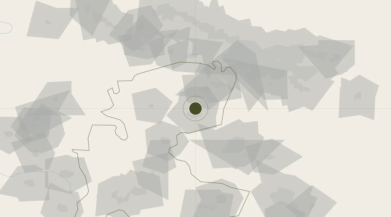
35.1066°, 50.3815°
3,000 ha
Zone area
527.9 km
Nearest port
78.0 km
Nearest airport

Gateway access

Nearest neighbours — logibook spatial index (haversine) over the source coordinates

Zone profile

Zone type
Diversified Zone
Open Zone Map
Region
Markazi
Open Zone Map
Status
Active
Open Zone Map
Management
Private
Open Zone Map
Operator
Kaveh Industrial Parks Company
Open Zone Map
Legal framework
Law on the Administration of Free Trade-Industrial Zones of the Islamic Republic of Iran
Open Zone Map

Location

Location of ozm-2497
Natural Earth 10m (public domain) · Markazi · ozm-2497 · 35.11, 50.38GoogleOSMYandex

Nearby Logistics Neighbours

Ports
  1. 1Bandar-E Mahshahr528 km
  2. 2Bandar Khomeyni534 km
  3. 3Khorramshahr559 km
  4. 4Al Basrah563 km
  5. 5Abadan566 km
Nearest neighbours — logibook spatial index (haversine) over the source coordinates
Airports
  1. 1Imam Khomeini International Airport78 km
  2. 2Payam International Airport85 km
  3. 3Mehrabad International Airport107 km
  4. 4Qazvin Airport130 km
  5. 5Nojeh Air Base158 km
Nearest neighbours — logibook spatial index (haversine) over the source coordinates
Cities
  1. 1Malekan85 km
  2. 2Ali Shah Avaz86 km
  3. 3Baneh144 km
  4. 4Abhar155 km
  5. 5Amir Abad Pt210 km
Nearest neighbours — logibook spatial index (haversine) over the source coordinates
Trade Zones
  1. 1Zarandieh Special Economic Zone24 km
  2. 2Salafchegan Special Economic Zone73 km
  3. 3Rey Special Economic Zone77 km
  4. 4City‌ Imam Khomeini ‌Airport78 km
  5. 5Persian Gulf Ship Manufacturing81 km
Nearest neighbours — logibook spatial index (haversine) over the source coordinates
DatabookThe Record of Consolidated Knowledge
Iran beyond logistics?
Browse databook

All Sources

Trade ZonesOpen Zone Map
CC BY
Portsthe NGA World Port Index
Public domain (US gov)
AirportsOurAirports
Public domain
LocationsUN/LOCODE
UN/LOCODE — free
← Iran trade zones