Medium airport · Iran
Nojeh Air BaseOIHS
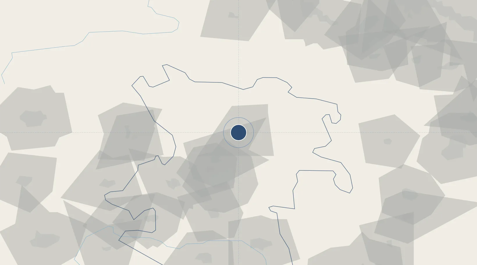
35.2116°, 48.6534°
14,300 ft
Longest runway
2
Runways
5,609 ft
Elevation
Runway & Layout

Radio Frequencies
TWR
123.3 MHz
NOGEH TWR
APP
36.11 MHz
NOGEH APP
APP
119.1 MHz
NOGEH APP
Navaids
HAB VORTAC Hamadan Mil 115.40 MHz
HAB NDB Hamadan Mil 329 kHz
Runways · 2
| Runway | Dimensions | Surface | True heading | Lit |
|---|---|---|---|---|
| 13R/31L | 14,300 × 148ft | Asphalt | 130° | ✓ |
| 05/23 | 12,915 × 148ft | Asphalt | 059° | ✓ |
Airport Specifications
IATA code
NUJ
ICAO code
OIHS
Airport class
Medium airport
Scheduled service
No
Runway surface
Asphalt
Served city
Amirabad
Location
Nearby Logistics Neighbours
Airports
- 1Hamadan Airport39 km
- 2Sanandaj Airport149 km
- 3Shahid Ashrafi Esfahani Airport167 km
- 4Qazvin Airport170 km
- 5Zanjan Airport176 km
Cities
- 1Abhar114 km
- 2Baneh144 km
- 3Zanjan163 km
- 4Kermanshah (Bakhtaran)178 km
- 5Ali Shah Avaz223 km
Ports
- 1Al Basrah528 km
- 2Bandar-E Mahshahr530 km
- 3Bandar Khomeyni533 km
- 4Khorramshahr533 km
- 5Abadan544 km
Trade Zones
DatabookThe Record of Consolidated Knowledge
Iran beyond logistics?