Transport Functions
Multimodal
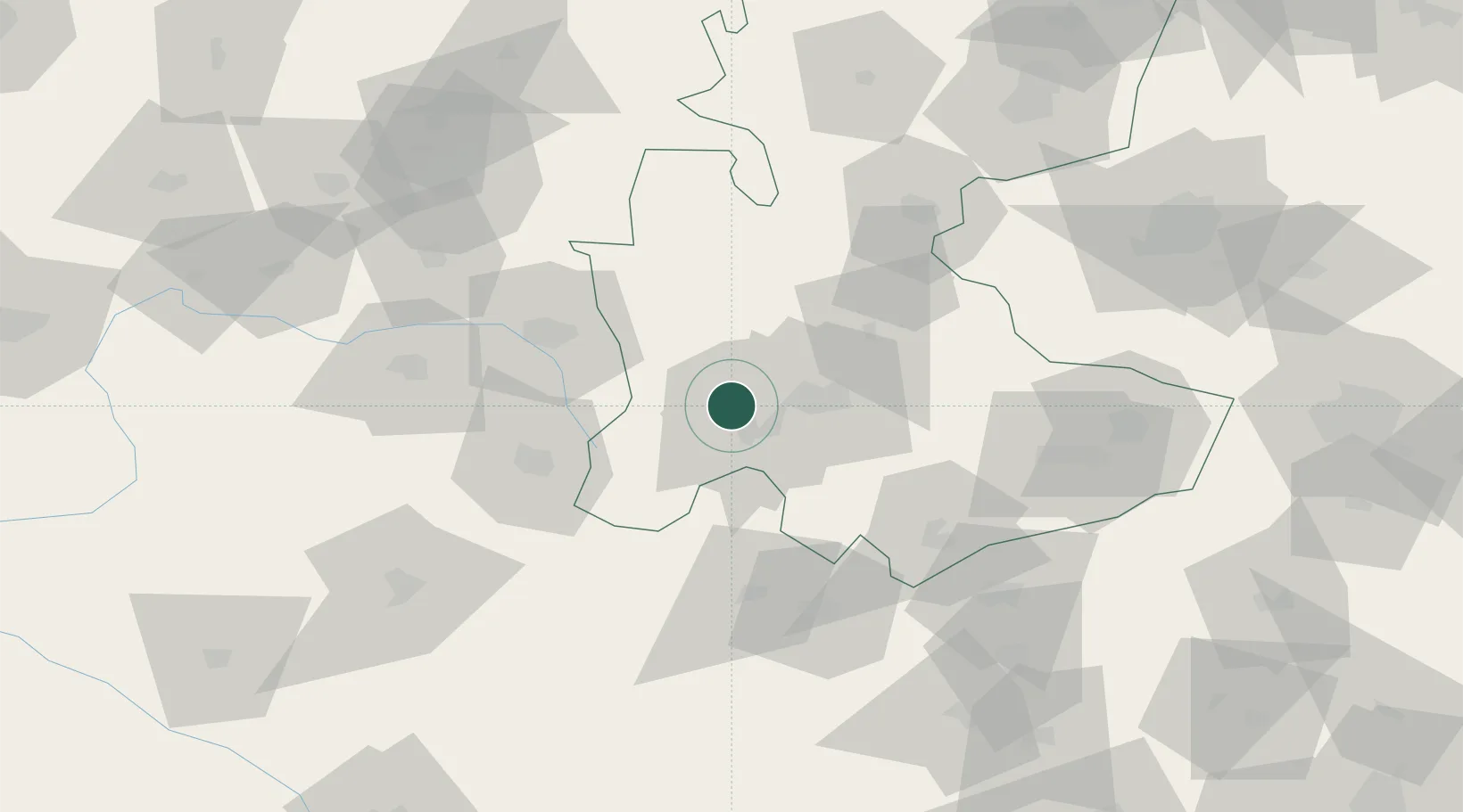
Hub Profile
Place type
Provincial seat
Region
Kurdistan Province
Population
104,799
Time zone
Asia/Tehran
Elevation
1,525 m
Location
Nearby Logistics Neighbours
Cities
- 1Malekan166 km
- 2Kermanshah (Bakhtaran)219 km
- 3Abhar229 km
- 4Ali Shah Avaz229 km
- 5Zanjan300 km
Ports
- 1Bandar-E Mahshahr403 km
- 2Bandar Khomeyni407 km
- 3Khorramshahr422 km
- 4Al Basrah424 km
- 5Abadan430 km
Airports
- 1Hamadan Airport118 km
- 2Khoram Abad Airport127 km
- 3Nojeh Air Base144 km
- 4Kashan Airport200 km
- 5Dezful Airport206 km
Trade Zones
DatabookThe Record of Consolidated Knowledge
Iran beyond logistics?