Diversified Zone · Iran

Salafchegan Special Economic Zone Active
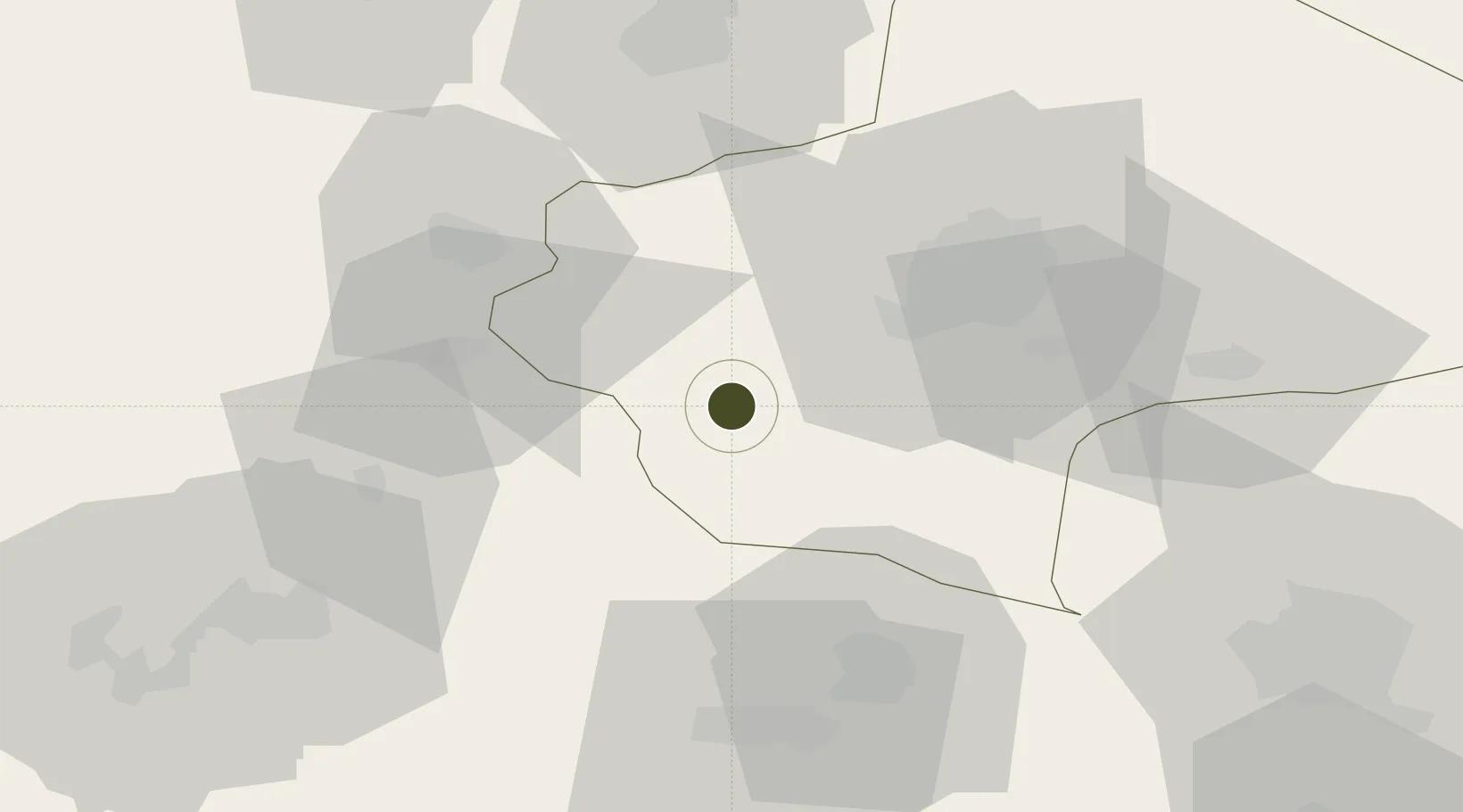
34.4491°, 50.4588°
3,500 ha
Zone area
458.7 km
Nearest port
119.9 km
Nearest airport

Gateway access

Nearest neighbours — logibook spatial index (haversine) over the source coordinates

Zone profile

Zone type
Diversified Zone
Open Zone Map
Region
Qom
Open Zone Map
Status
Active
Open Zone Map
Management
Private
Open Zone Map
Operator
Salafchegan-Qom Special Economic Development Company
Open Zone Map
Legal framework
Law of Establishment and Administration of Special Economic Zones of Islamic Republic of Iran
Open Zone Map

Location

Location of ozm-2498
Natural Earth 10m (public domain) · Qom · ozm-2498 · 34.45, 50.46GoogleOSMYandex

Nearby Logistics Neighbours

Ports
  1. 1Bandar-E Mahshahr459 km
  2. 2Bandar Khomeyni465 km
  3. 3Khorramshahr495 km
  4. 4Abadan501 km
  5. 5Al Basrah502 km
Nearest neighbours — logibook spatial index (haversine) over the source coordinates
Airports
  1. 1Kashan Airport120 km
  2. 2Imam Khomeini International Airport125 km
  3. 3Payam International Airport151 km
  4. 4Mehrabad International Airport158 km
  5. 5Hamadan Airport181 km
Nearest neighbours — logibook spatial index (haversine) over the source coordinates
Cities
  1. 1Malekan62 km
  2. 2Baneh104 km
  3. 3Ali Shah Avaz144 km
  4. 4Abhar219 km
  5. 5Amir Abad Pt251 km
Nearest neighbours — logibook spatial index (haversine) over the source coordinates
Trade Zones
  1. 1Kaveh Special Economic Zone73 km
  2. 2Zarandieh Special Economic Zone95 km
  3. 3Kashan Special Economic Zone97 km
  4. 4Rey Special Economic Zone118 km
  5. 5City‌ Imam Khomeini ‌Airport124 km
Nearest neighbours — logibook spatial index (haversine) over the source coordinates
DatabookThe Record of Consolidated Knowledge
Iran beyond logistics?
Browse databook

All Sources

Trade ZonesOpen Zone Map
CC BY
Portsthe NGA World Port Index
Public domain (US gov)
AirportsOurAirports
Public domain
LocationsUN/LOCODE
UN/LOCODE — free
← Iran trade zones