Diversified Zone · Iran

Rey Special Economic Zone Active
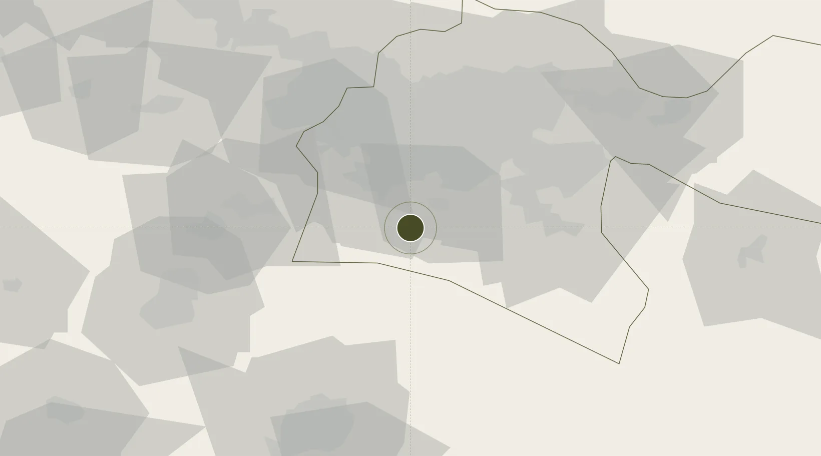
35.3306°, 51.1825°
2,100 ha
Zone area
572.1 km
Nearest port
9.9 km
Nearest airport

Gateway access

Nearest neighbours — logibook spatial index (haversine) over the source coordinates

Zone profile

Zone type
Diversified Zone
Open Zone Map
Region
Tehran
Open Zone Map
Status
Active
Open Zone Map
Management
Private
Open Zone Map
Operator
Rey Investment Company
Open Zone Map
Legal framework
Law of Establishment and Administration of Special Economic Zones of Islamic Republic of Iran
Open Zone Map

Location

Location of ozm-2495
Natural Earth 10m (public domain) · Tehran · ozm-2495 · 35.33, 51.18GoogleOSMYandex

Nearby Logistics Neighbours

Ports
  1. 1Bandar-E Mahshahr572 km
  2. 2Bandar Khomeyni579 km
  3. 3Khorramshahr612 km
  4. 4Abadan618 km
  5. 5Al Basrah620 km
Nearest neighbours — logibook spatial index (haversine) over the source coordinates
Airports
  1. 1Imam Khomeini International Airport10 km
  2. 2Mehrabad International Airport42 km
  3. 3Payam International Airport59 km
  4. 4Qazvin Airport144 km
  5. 5Nowshahr Airport150 km
Nearest neighbours — logibook spatial index (haversine) over the source coordinates
Cities
  1. 1Ali Shah Avaz38 km
  2. 2Malekan80 km
  3. 3Amir Abad Pt136 km
  4. 4Freidoon Kenar196 km
  5. 5Abhar199 km
Nearest neighbours — logibook spatial index (haversine) over the source coordinates
Trade Zones
  1. 1City‌ Imam Khomeini ‌Airport9 km
  2. 2Mehran Special Economic Zone46 km
  3. 3Yazd Special Economic Zone52 km
  4. 4New Arg Special Economic Zone56 km
  5. 5Payam Special Economic Zone58 km
Nearest neighbours — logibook spatial index (haversine) over the source coordinates
DatabookThe Record of Consolidated Knowledge
Iran beyond logistics?
Browse databook

All Sources

Trade ZonesOpen Zone Map
CC BY
Portsthe NGA World Port Index
Public domain (US gov)
AirportsOurAirports
Public domain
LocationsUN/LOCODE
UN/LOCODE — free
← Iran trade zones