Diversified Zone · Iran

Jahan Abad Special Economic Zone Active
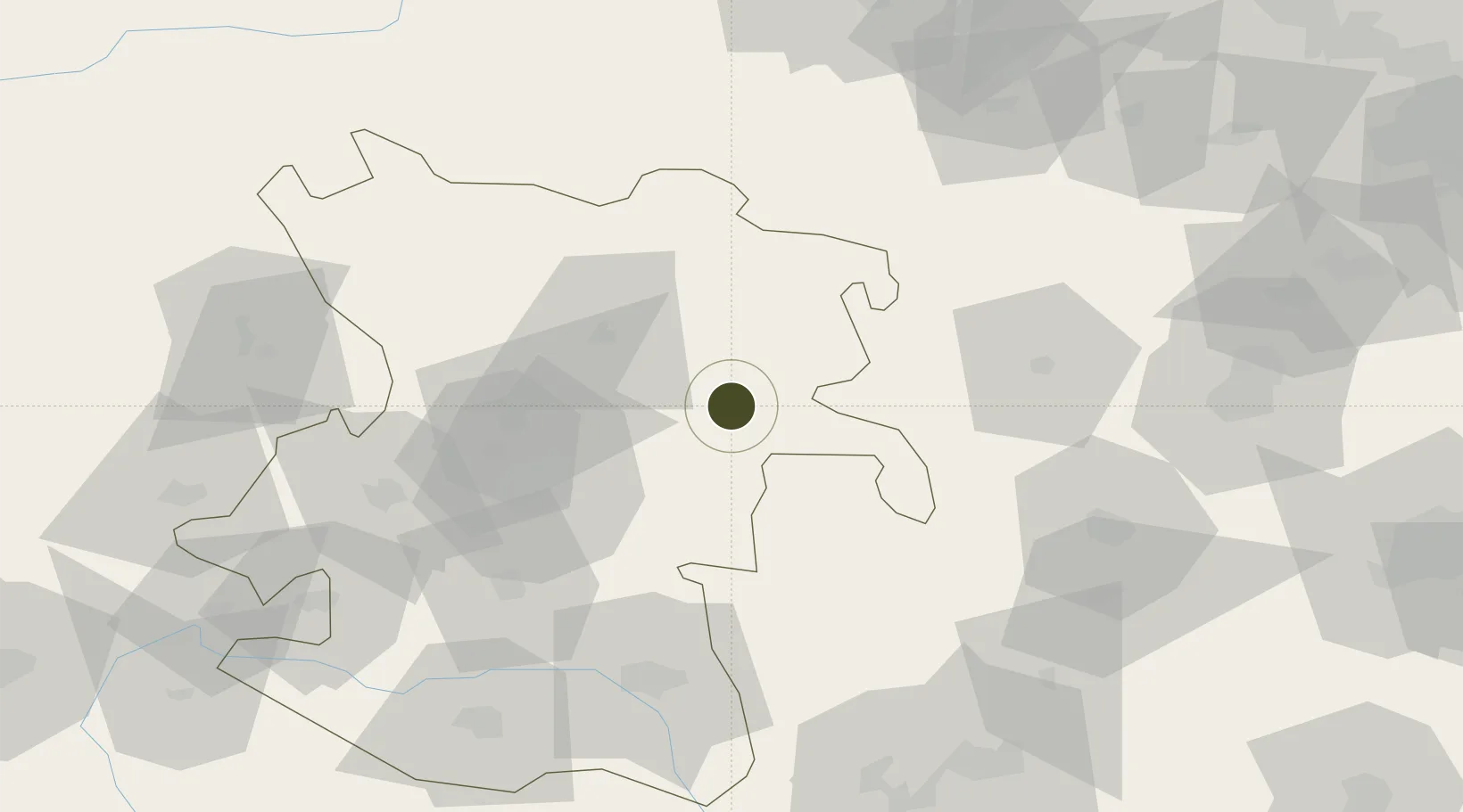
35.0336°, 49.0359°
1,880 ha
Zone area
508.0 km
Nearest port
40.0 km
Nearest airport

Gateway access

Nearest neighbours — logibook spatial index (haversine) over the source coordinates

Zone profile

Zone type
Diversified Zone
Open Zone Map
Region
Hamadan
Open Zone Map
Status
Active
Open Zone Map
Management
Public
Open Zone Map
Operator
Hamedan Province Industrial Towns Company
Open Zone Map
Legal framework
Law of Establishment and Administration of Special Economic Zones of Islamic Republic of Iran
Open Zone Map

Location

Location of ozm-2489
Natural Earth 10m (public domain) · Hamadan · ozm-2489 · 35.03, 49.04GoogleOSMYandex

Nearby Logistics Neighbours

Ports
  1. 1Bandar-E Mahshahr508 km
  2. 2Bandar Khomeyni512 km
  3. 3Al Basrah515 km
  4. 4Khorramshahr518 km
  5. 5Abadan527 km
Nearest neighbours — logibook spatial index (haversine) over the source coordinates
Airports
  1. 1Nojeh Air Base40 km
  2. 2Hamadan Airport48 km
  3. 3Qazvin Airport162 km
  4. 4Payam International Airport182 km
  5. 5Sanandaj Airport186 km
Nearest neighbours — logibook spatial index (haversine) over the source coordinates
Cities
  1. 1Baneh111 km
  2. 2Abhar123 km
  3. 3Zanjan189 km
  4. 4Malekan194 km
  5. 5Ali Shah Avaz195 km
Nearest neighbours — logibook spatial index (haversine) over the source coordinates
Trade Zones
  1. 1Kaveh Special Economic Zone123 km
  2. 2Zarandieh Special Economic Zone135 km
  3. 3Salafchegan Special Economic Zone145 km
  4. 4Persian Gulf Ship Manufacturing158 km
  5. 5Payam Special Economic Zone182 km
Nearest neighbours — logibook spatial index (haversine) over the source coordinates
DatabookThe Record of Consolidated Knowledge
Iran beyond logistics?
Browse databook

All Sources

Trade ZonesOpen Zone Map
CC BY
Portsthe NGA World Port Index
Public domain (US gov)
AirportsOurAirports
Public domain
LocationsUN/LOCODE
UN/LOCODE — free
← Iran trade zones