Medium airport · Iran
Hamadan AirportOIHH
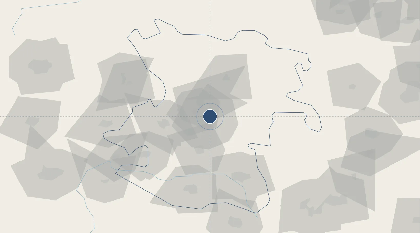
34.8692°, 48.5525°
10,611 ft
Longest runway
1
Runways
5,755 ft
Elevation
Runway & Layout

Radio Frequencies
TWR
123.5 MHz
Navaids
HAM VOR-DME Hamadan 117.90 MHz
HAM NDB Hamadan 317 kHz
Runways · 1
| Runway | Dimensions | Surface | True heading | Lit |
|---|---|---|---|---|
| 10/28 | 10,611 × 148ft | Asphalt | 105° | ✓ |
Airport Specifications
IATA code
HDM
ICAO code
OIHH
Airport class
Medium airport
Scheduled service
Yes
Runway surface
Asphalt
Served city
Hamadan
Location
Nearby Logistics Neighbours
Airports
- 1Nojeh Air Base39 km
- 2Shahid Ashrafi Esfahani Airport140 km
- 3Sanandaj Airport147 km
- 4Khoram Abad Airport161 km
- 5Qazvin Airport204 km
Cities
- 1Baneh118 km
- 2Kermanshah (Bakhtaran)151 km
- 3Abhar153 km
- 4Zanjan200 km
- 5Malekan234 km
Ports
- 1Al Basrah489 km
- 2Bandar-E Mahshahr493 km
- 3Khorramshahr495 km
- 4Bandar Khomeyni496 km
- 5Abadan505 km
Trade Zones
DatabookThe Record of Consolidated Knowledge
Iran beyond logistics?