Runway & Layout

Airport Specifications
Airport class
Medium airport
Scheduled service
No
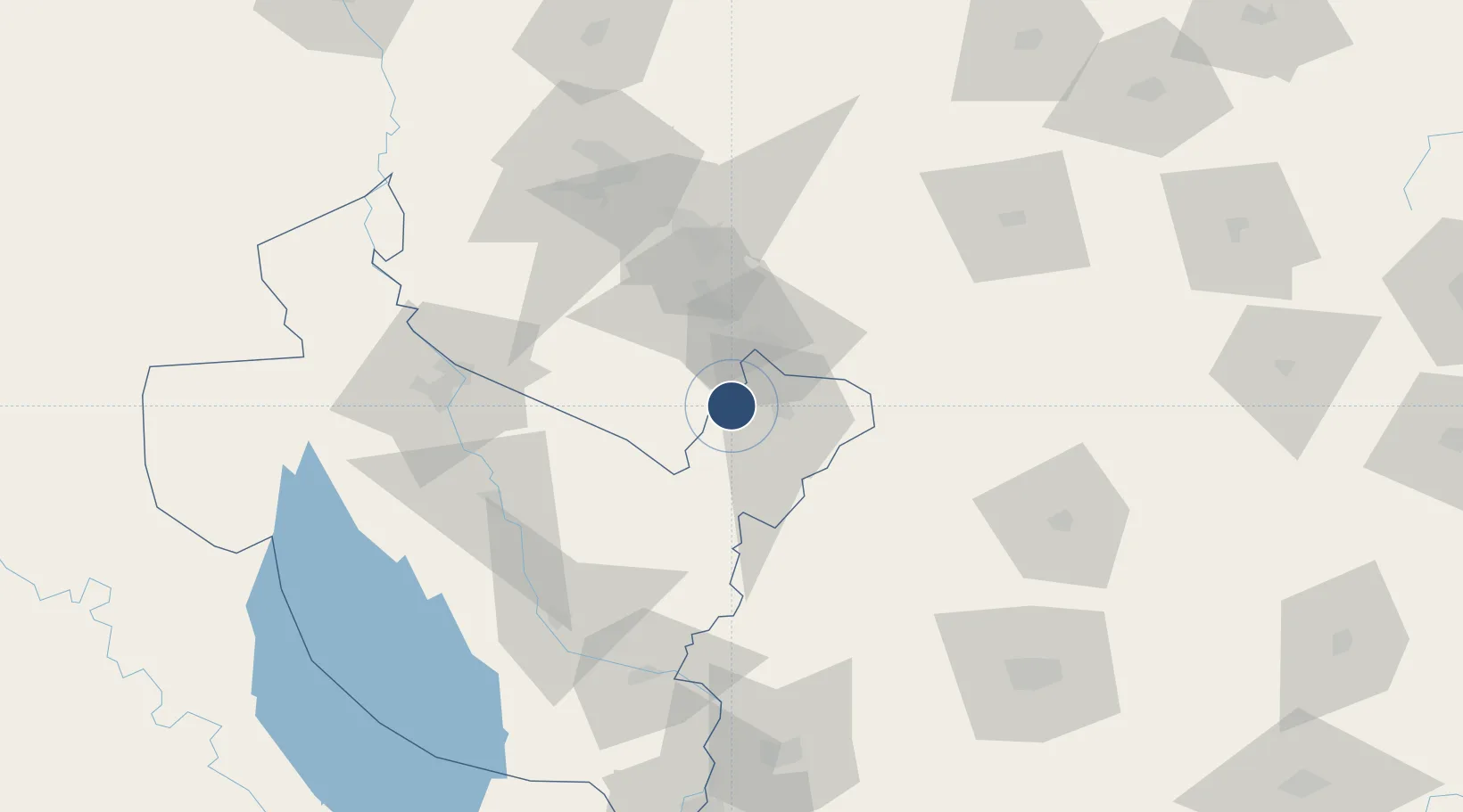
Location
Nearby Logistics Neighbours
Airports
Ports
- 1Al Basrah583 km
- 2Khorramshahr609 km
- 3Khawr Al Zubair618 km
- 4Abadan623 km
- 5Umm Qasr636 km
Trade Zones
DatabookThe Record of Consolidated Knowledge
Iraq beyond logistics?