Medium airport · Iraq

Sulaymaniyah International AirportORSU
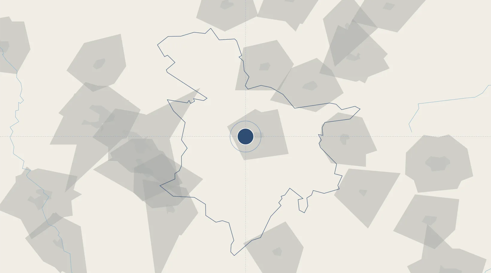
35.5617°, 45.3167°
11,481 ft
Longest runway
1
Runways
2,494 ft
Elevation

Runway & Layout

Sulaymaniyah International Airport runway & taxiway layout
Runway & taxiway layout — OpenStreetMap (ODbL) / OurAirports

Radio Frequencies

AAS
118.3 MHz
ADVSY SVC
ACC
125.3 MHz
KIRKUK ACC
OurAirports

Navaids

SUL VOR Sulaymaniyah 117.00 MHz
OurAirports

Runways · 1

RunwayDimensions SurfaceTrue headingLit
13/31 11,481 × 148ft Concrete 133°
OurAirports

Airport Specifications

IATA code
ISU
OurAirports
ICAO code
ORSU
OurAirports
Airport class
Medium airport
OurAirports
Scheduled service
Yes
OurAirports
Runway surface
Concrete
OurAirports
Served city
Sulaymaniyah
OurAirports

Location

Location of ORSU
Natural Earth 10m (public domain) · As-Sulaymaniyah · ORSU · 35.56, 45.32GoogleOSMYandex

Nearby Logistics Neighbours

Airports
  1. 1Kirkuk International Airport88 km
  2. 2Tuz Khurmatu Air Base103 km
  3. 3Tal Ashtah New Air Base117 km
  4. 4Erbil International Airport144 km
  5. 5Sanandaj Airport157 km
Nearest neighbours — logibook spatial index (haversine) over the source coordinates
Cities
  1. 1Piran Shahr126 km
  2. 2Arbil137 km
  3. 3Irbil143 km
  4. 4Samarra'201 km
  5. 5Balad205 km
Nearest neighbours — logibook spatial index (haversine) over the source coordinates
Ports
  1. 1Al Basrah608 km
  2. 2Khorramshahr630 km
  3. 3Abadan644 km
  4. 4Khawr Al Zubair645 km
  5. 5Umm Qasr664 km
Nearest neighbours — logibook spatial index (haversine) over the source coordinates
Trade Zones
  1. 1Baneh Special Economic Zone74 km
  2. 2Qasr-e-Shirin Special Economic Zone118 km
  3. 3West Islamabad Special Economic Zone184 km
  4. 4Salmas Special Economic Zone298 km
  5. 5Sahlan Special Economic Zone299 km
Nearest neighbours — logibook spatial index (haversine) over the source coordinates
DatabookThe Record of Consolidated Knowledge
Iraq beyond logistics?
Browse databook

All Sources

AirportsOurAirports
Public domain
Portsthe NGA World Port Index
Public domain (US gov)
LocationsUN/LOCODE
UN/LOCODE — free
Trade Zonesthe World Bank SEZ database
CC BY 4.0
Trade ZonesOpen Zone Map
CC BY
InfrastructureOpenStreetMap
ODbL 1.0
← Iraq airports